Edgbaston, Residential suburb south of Birmingham, England.
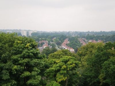
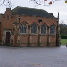
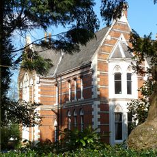
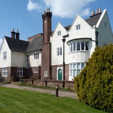
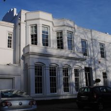
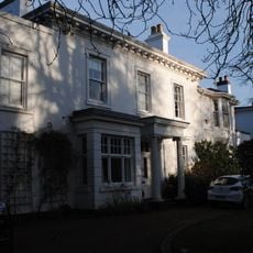
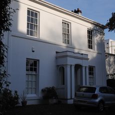
Edgbaston is a residential suburb in southwest Birmingham, England, covering several square kilometers of tree-lined streets and parkland. The area includes clusters of red-brick homes, university buildings, and sports facilities linked by a canal network and two railway stations.
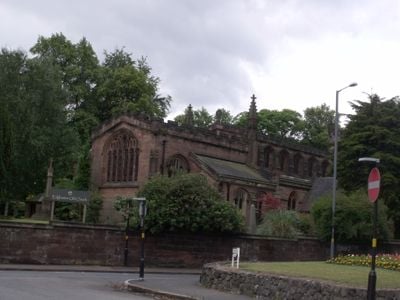
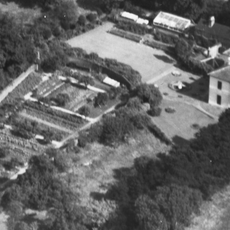
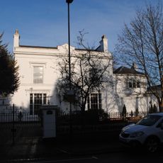
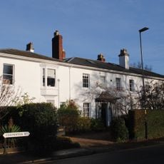
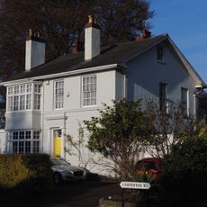
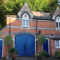
A village recorded in the eleventh century began transforming into a residential district from the 1810s as landowners started dividing estates into plots for large homes. The Gough-Calthorpe family encouraged controlled expansion, shaping building styles and street character through the twentieth century.
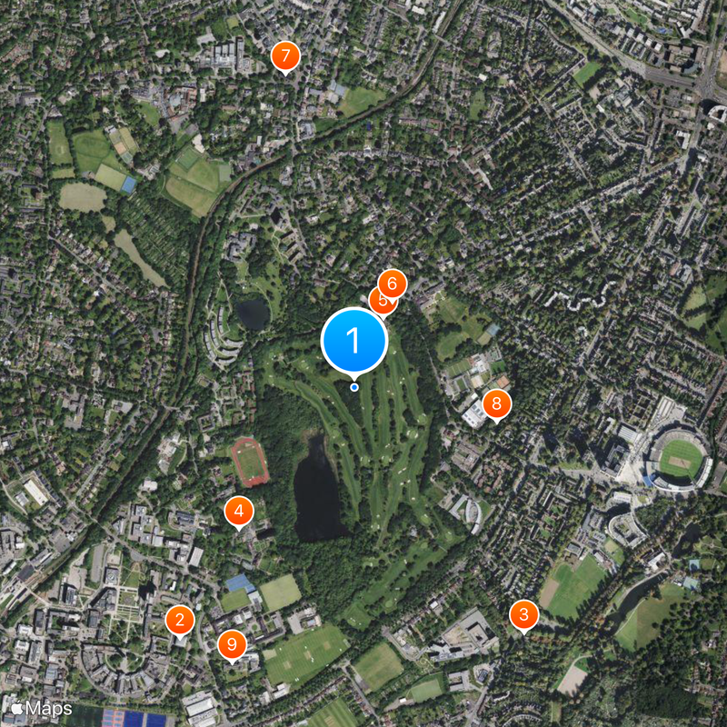
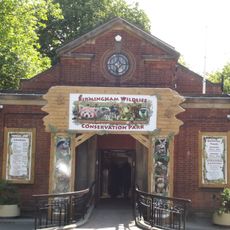
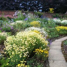
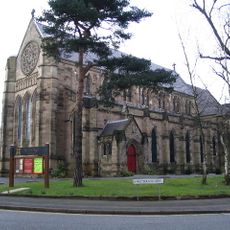
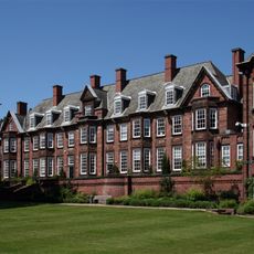
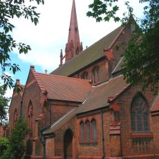
The University of Birmingham campus, Edgbaston Cricket Ground, and Birmingham Botanical Gardens form the educational and recreational core of the district.
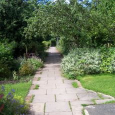
The suburb works well for walks along canals and through wide residential streets, best explored on foot or by bike during bright afternoons. Buses run regularly toward the city center, and the two railway stations offer direct links into downtown Birmingham.
A lawn tennis club from the nineteenth century still trains on the same courts where its first members played. Streets in the eastern part of the suburb carry names of British poets and writers from the eighteenth and nineteenth centuries.
Location: Birmingham
GPS coordinates: 52.45805,-1.91905
Latest update: December 14, 2025 17:23
Barber Institute of Fine Arts
1 km
Birmingham Wildlife Conservation Park
1 km
Winterbourne House and Garden
624 m
Edgbaston Hall
260 m
St Bartholomew's Church, Edgbaston
323 m
St George's Church
1.1 km
Martineau Gardens
505 m
University House
1 km
Church of SS Mary and Ambrose, Edgbaston
1 km
Equestrian statue of George I
1 km
King Edward's School Chapel
826 m
Statue of Sir Robert Peel in Front of Police Training College
884 m
Park Mount House
527 m
Monuments To William Hoddinott, Jane Bellis, Catherine Chavasse And J A Chatwin Approximately 30 Feet North West Of Church Of St Bartholomew In The Churchyard
324 m
12, Ampton Road
774 m
The Boy Scouts War Memorial In Cannon Hill Park
1.1 km
Garth House
681 m
8, Carpenter Road
816 m
Knutsford Lodge
965 m
9, Carpenter Road
822 m
4 And 5, Carpenter Road
816 m
35, Calthorpe Road B15
1.1 km
3, Carpenter Road
818 m
Stables to the north east of Number 12, Ampton Road
775 m
6, Carpenter Road
811 m
7, Carpenter Road
815 m
Round & Parrott blue plaque
943 m
Two Sets Of Gatepiers And Boundary Wall To Front Of Number 9
798 mVisited this place? Tap the stars to rate it and share your experience / photos with the community! Try now! You can cancel it anytime.
Discover hidden gems everywhere you go!
From secret cafés to breathtaking viewpoints, skip the crowded tourist spots and find places that match your style. Our app makes it easy with voice search, smart filtering, route optimization, and insider tips from travelers worldwide. Download now for the complete mobile experience.
A unique approach to discovering new places❞
— Le Figaro
All the places worth exploring❞
— France Info
A tailor-made excursion in just a few clicks❞
— 20 Minutes