Edgware Road, Major road from Marble Arch in London, United Kingdom
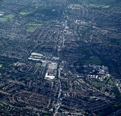
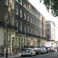
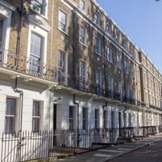
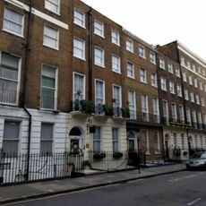
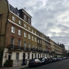
Edgware Road is a major street that extends northward from Marble Arch through several London boroughs as part of the A5 route. It runs in a notably straight line, connecting central London to the northern suburbs across its entire length.
The road traces its origins to Roman times as part of Watling Street and became a turnpike in 1711 to fund maintenance and improvements. This evolution from an ancient trade route to a modern transportation corridor reflects its enduring importance.
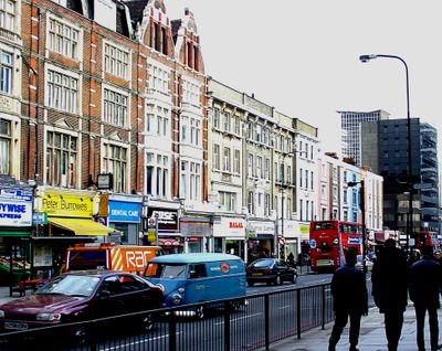
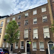
The southern stretch of this road is home to London's Lebanese and Arab communities, with numerous restaurants, cafes, and shops that define the neighborhood's character. People from these communities gather here to eat, shop, and maintain their cultural traditions through the businesses they run.
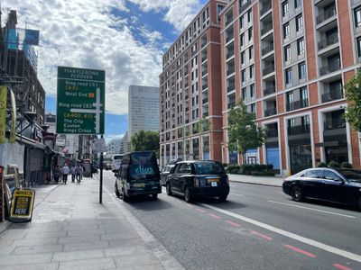
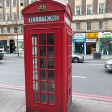
Multiple Underground stations and numerous bus routes serve this road, making it easy to travel between different neighborhoods. Pedestrians find many access points along the way to reach public transport options, which helps with navigation.
The road maintains a remarkably straight path along its entire length while marking boundaries between different London boroughs. This unusual straightness stands out when considering the diverse areas it passes through.
The community of curious travelers
AroundUs brings together thousands of curated places, local tips, and hidden gems, enriched daily by 60,000 contributors worldwide.