London Borough of Brent

Log in to your account

AroundUs is a community-driven map of interesting places, built by curious explorers like you. It grows with every review, story, and photo you share.
Connect to save your favorite spots, contribute locations, and create personalized routes.
Continue with Google
Continue with Apple
Continue with X
Continue with Facebook
Continue with email
By continuing, you accept our Terms and Conditions and our Privacy Policy
Create an account
Add to collection
Map
Suggest a change
Share

London Borough of Brent, Administrative district in northwest London, England

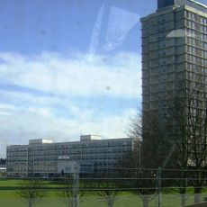
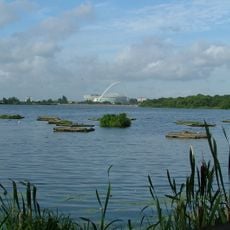
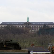
The London Borough of Brent is an administrative district in northwest London, stretching from Willesden Green in the south to the Welsh Harp reservoir in the north. The area includes residential streets with Victorian terraced houses, modern apartment blocks and commercial zones along the North Circular Road.

The borough formed in 1965 by merging two former Middlesex administrative units during the reorganization of London government. The fusion brought different neighborhoods under one shared administration in the new Greater London.

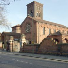
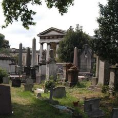
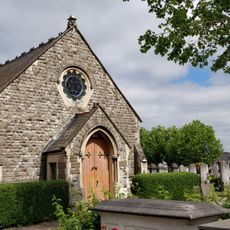
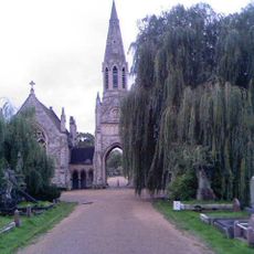
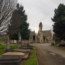
The name comes from the River Brent, which flows through the area before joining the Thames. Visitors today notice traces of several waves of migration in the shops, temples, mosques and church buildings that line the main roads and residential streets.

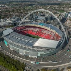
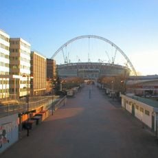
The Civic Centre in Wembley Park serves as the administrative hub and is easily reached by several Underground lines. Visitors find parks, shopping streets and cultural facilities scattered across different neighborhoods, so exploring on foot usually stays within smaller areas.

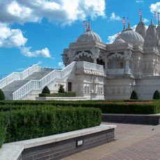
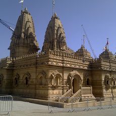
Neasden is home to a large Hindu temple built from limestone and marble, carved by craftsmen brought from India. One of the primary schools in the borough was founded by a well-known musician and follows Islamic educational principles.

Location: Greater London

Inception: April 1, 1965

Capital city: Wembley

Shares border with: London Borough of Barnet, London Borough of Camden, City of Westminster, Royal Borough of Kensington and Chelsea, London Borough of Hammersmith and Fulham, London Borough of Ealing, London Borough of Harrow

Website: https://brent.gov.uk

GPS coordinates: 51.55889,-0.28111

Latest update: December 12, 2025 23:43

Photos
Reviews

Visited this place? Tap the stars to rate it and share your experience / photos with the community! Try now! You can cancel it anytime.

« London Borough of Brent - Administrative district in northwest London, England » is provided by Around Us (aroundus.com). Images and texts are derived from Wikimedia project under a Creative Commons license. You are allowed to copy, distribute, and modify copies of this page, under the conditions set by the license, as long as this note is clearly visible.

Discover hidden gems everywhere you go!

From secret cafés to breathtaking viewpoints, skip the crowded tourist spots and find places that match your style. Our app makes it easy with voice search, smart filtering, route optimization, and insider tips from travelers worldwide. Download now for the complete mobile experience.

Around Us App Screenshot

A unique approach to discovering new places

Le Figaro

All the places worth exploring

France Info

A tailor-made excursion in just a few clicks

20 Minutes