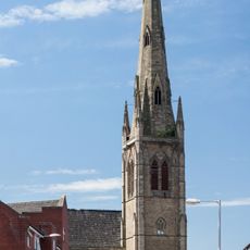
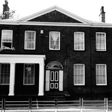
Hulme, Residential neighborhood in Manchester, England
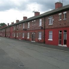
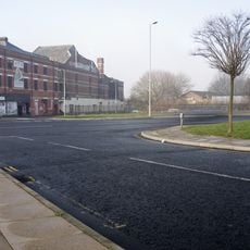
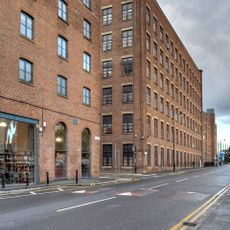
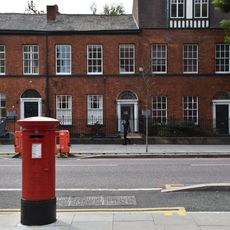
Hulme is an inner residential suburb located south of Manchester's city center, containing a mix of modern apartment buildings, student housing, and community facilities. The neighborhood is organized around streets and green spaces that connect residential blocks with local shops and services.
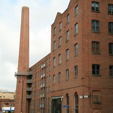
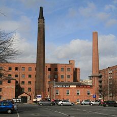
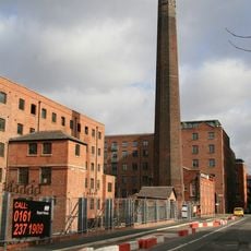
The area transformed from farmland into a dense urban neighborhood during the Industrial Revolution following the construction of the Bridgewater Canal. This period of rapid growth shaped it into the residential district it is today.
Today, Hulme is home to a diverse mix of students, families, and workers who share the neighborhood's streets and local shops. The area reflects the backgrounds of its residents through food businesses, community centers, and gathering spaces that people use daily.
The neighborhood is easily walkable and well-connected by public transport to the city center, making it accessible for visitors and residents alike. Most everyday services and facilities are spread within short distances.
The name comes from medieval settlers and refers to a word used in old documents for an area surrounded by water or wetland. This origin reflects the terrain before urban development transformed it into the neighborhood we see today.
Location: Manchester
Elevation above the sea: 36 m
Part of: Manchester
Shares border with: Manchester city centre
GPS coordinates: 53.46360,-2.25000
Latest update: December 7, 2025 09:20
Manchester Museum
1.1 km
Hulme Crescents
278 m
Manchester School of Art
1 km
Hulme Arch Bridge
566 m
Hulme Hippodrome
83 m
River Street Tower
803 m
Arthur Lewis Building
1 km
Church of St Mary, Hulme
277 m
Playhouse Theatre
79 m
Laura Seddon Greeting Card Collection
1.1 km
Stephen Joseph Studio
1 km
Christ Church, Moss Side, Manchester
1 km
Chorlton New Mills
1.1 km
Darul Amaan Mosque
723 m
Former Town Hall Facade To Mable Tylecote Building, Manchester Metropolitan University
1.1 km
Roman Catholic Church of St Wilfrid
635 m
Hulme Barracks
1.1 km
Victoria University of Manchester including Christie Library, Whitworth Hall
1.1 km
Roman Catholic Church of St Augustine
983 m
Manchester University Rutherford Building And Hopkinson Memorial Wing
1 km
Righton Building
985 m
Mill Chimney Stack On East Side Of Junction With Cambridge Street
1 km
Chorlton Old Mill
1 km
Boundary Stone On Knott Mill Bridge
1.1 km
Charles Macintosh & Co Rubber (Dunlop Rubber Co)
1 km
Waterloo Place
1.1 km
Bridgewater Canal Offices
1.1 km
Old Quadrangle, University of Manchester
1.1 kmVisited this place? Tap the stars to rate it and share your experience / photos with the community! Try now! You can cancel it anytime.
Discover hidden gems everywhere you go!
From secret cafés to breathtaking viewpoints, skip the crowded tourist spots and find places that match your style. Our app makes it easy with voice search, smart filtering, route optimization, and insider tips from travelers worldwide. Download now for the complete mobile experience.
A unique approach to discovering new places❞
— Le Figaro
All the places worth exploring❞
— France Info
A tailor-made excursion in just a few clicks❞
— 20 Minutes