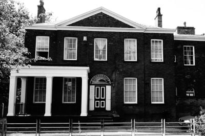
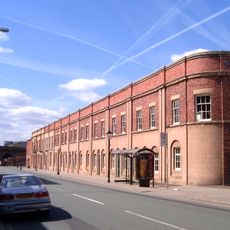
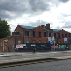
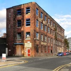
Hulme Barracks, grade II listed barracks in Manchester, United kingdom
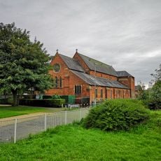
Hulme Barracks is an early 19th-century building in Manchester with sturdy stone walls, small windows, and a rectangular functional design typical of military structures from that era. Originally part of a larger compound with multiple structures, today only the main building remains, which once served as the officers' mess and quarters.
The building was constructed in 1804 as part of Britain's military infrastructure and served the British Army for over a century as accommodation and training for soldiers. In 1819, soldiers stationed here charged at protesters during the Peterloo Massacre, an event that left a deep mark on local history.
The building's name reflects its original purpose as a military barracks, and today it serves as a quiet landmark in the neighborhood. Its plain design and sturdy walls remind visitors of an era when soldiers were a visible part of daily life in the city.
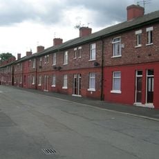
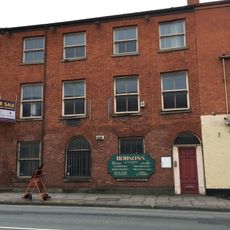
The building is located in a residential neighborhood with shops and houses nearby, making it easy to reach on foot. Visitors can walk past and view the exterior structure, though it is a protected building and only the outside is accessible.
The building was the site of a turbulent period in British history, playing a role in the Peterloo Massacre of 1819, a turning point in reform protests. Today this quiet barracks reminds visitors of the complex past when military and civil society collided.
The community of curious travelers
AroundUs brings together thousands of curated places, local tips, and hidden gems, enriched daily by 60,000 contributors worldwide.