Nunthorpe, Civil parish and suburb in Middlesbrough, England.
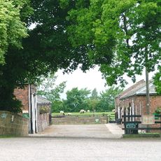
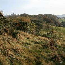
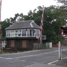
Nunthorpe is a civil parish and suburb that combines residential neighborhoods with open spaces, parks, and community facilities spread throughout the area. Local roads and railway infrastructure, including two stations on the Esk Valley Line, connect the suburb to Middlesbrough and the wider region.
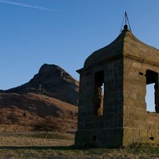
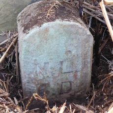
The settlement appeared in the 1086 Domesday Book as Thorpe and received its current name after Cistercian nuns established a presence there in the late 12th century. This religious foundation shaped the settlement's development for many centuries.
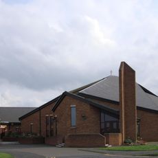
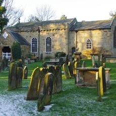
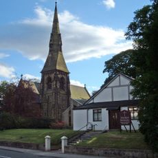
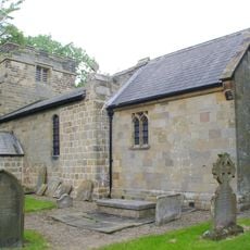
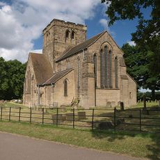
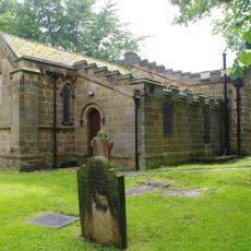
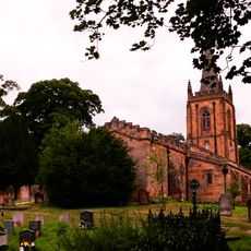
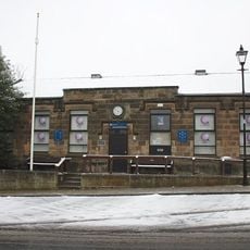
The area is home to several places of worship that serve the local community, including St Mary the Virgin Church, a Methodist chapel, and a Catholic church. These buildings reflect the spiritual life of the residents and remain central gathering points for different faith traditions.
The area is easily reached by rail through two stations that operate on the Esk Valley Line with regular service to Middlesbrough and beyond. When exploring on foot, visitors will find the green spaces and parks distributed across the neighborhoods accessible and suitable for walking at a steady pace.
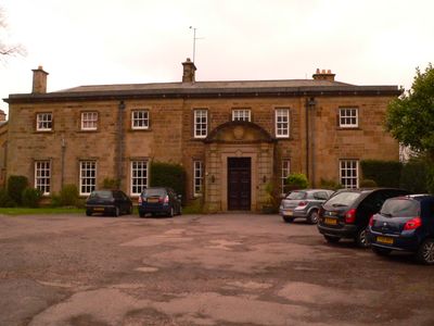
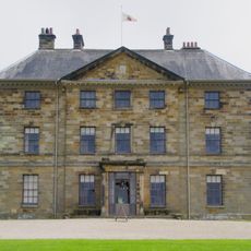
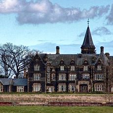
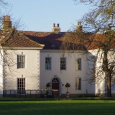
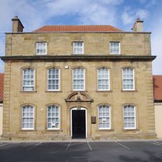
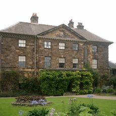
Grey Towers House was built in 1865 as a private residence and later converted into a tuberculosis sanatorium before being preserved as a Grade II listed building today. This substantial stone structure tells the story of medical care in the area and reflects the changing uses of Victorian buildings over time.
The community of curious travelers
AroundUs brings together thousands of curated places, local tips, and hidden gems, enriched daily by 60,000 contributors worldwide.