Wilts & Berks Canal, Canal system in Wiltshire and Berkshire, England
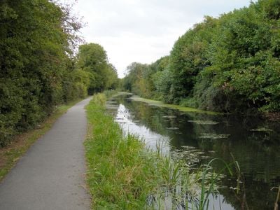
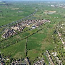
The Wilts & Berks Canal is a historic waterway running across Wiltshire and Berkshire, linking the Melksham area in the southwest to the Thames at Abingdon in the east. The channel features multiple locks and passes through varied countryside, with some sections actively restored and others showing signs of age.
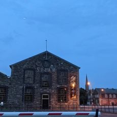
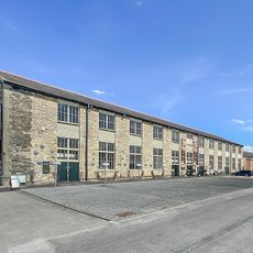
The canal was built between 1796 and 1810 to move coal and farm goods through regions that lacked good roads. It became less important as railways expanded in the later 1800s, leading to its gradual decline until restoration efforts began in the mid-20th century.
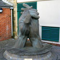
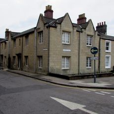
The waterway linked farming villages with urban centers, allowing local produce and goods to flow between country and city throughout the 1800s. People living along the route depended on this connection for their livelihoods and commerce.
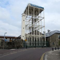
The canal is accessible at various points, with towpaths running alongside much of the route for walkers and cyclists. Not all sections are equally walkable since some areas are still undergoing restoration or are less developed, so checking local conditions before visiting helps plan your route better.
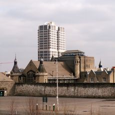
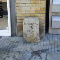
The canal has historic branch lines that extended to smaller towns, serving their local industries and trade needs of the era. Remnants of these side routes can still be traced today, offering glimpses into how different communities once relied on these waterways for their specific goods and commerce.
The community of curious travelers
AroundUs brings together thousands of curated places, local tips, and hidden gems, enriched daily by 60,000 contributors worldwide.