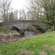
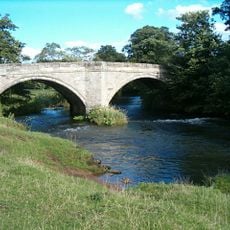
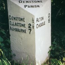
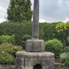
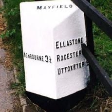
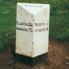
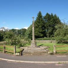
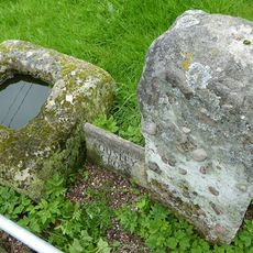
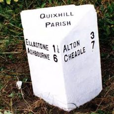
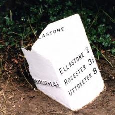
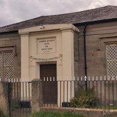
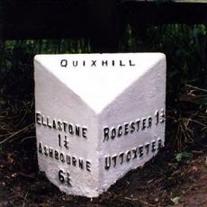
Norbury and Roston, civil parish in Derbyshire Dales district, Derbyshire, England
Location: Derbyshire Dales
Shares border with: Snelston, Marston Montgomery, Cubley
GPS coordinates: 52.97800,-1.81800
Latest update: March 6, 2025 00:54
Norbury Manor
82 m
Yeaveley Preceptory
5.4 km
St Mary and St Barlock's Church, Norbury
248 m
St John the Baptist's Church, Mayfield
4 km
Church of All Saints
2.7 km
Church of St Peter
3.4 km
Church of St Peter
1.3 km
Church of St Michael
3.2 km
Church of St Giles
4.6 km
Quixhill Bridge
2.5 km
Ellastone Bridge
334 m
Milepost Opposite Stone Bank
3 km
Village Cross And Drinking Fountain
2.8 km
The Manor House
4.6 km
Milepost At Ngr Sk 1148 4353
1.5 km
Rocester Bridge
3.2 km
Tutbury Mill
3.3 km
Milepost Approximately 10 Yards North West Of Red House At Ngr Sk 1400 4412
2.5 km
Milepost At Ngr Sk 1074 3992
2.8 km
Snelston War Memorial
3 km
Ousley Cross Base And Shaft At Ngr Sk 1255 4452
2.2 km
Milepost Approximately 50 Yards South West Of Prestwood Lane
1.6 km
Cross Approximately 15 Yards South Of South Aisle Of Church Of St John Baptist
3.9 km
Lychgate, Bus Stop And Connecting Retaining Wall To Churchyard
4.6 km
Milepost At Ngr Sk 1257 4360
1.3 km
Stubwood Methodist Chapel, Forecourt Walls, Railings And Gate
3.5 km
Milepost At Ngr Sk 1099 4123
1.7 km
Milepost, Denstone
3 kmReviews
Visited this place? Tap the stars to rate it and share your experience / photos with the community! Try now! You can cancel it anytime.
Discover hidden gems everywhere you go!
From secret cafés to breathtaking viewpoints, skip the crowded tourist spots and find places that match your style. Our app makes it easy with voice search, smart filtering, route optimization, and insider tips from travelers worldwide. Download now for the complete mobile experience.
A unique approach to discovering new places❞
— Le Figaro
All the places worth exploring❞
— France Info
A tailor-made excursion in just a few clicks❞
— 20 Minutes