Lochaber, Highland district in Scotland, United Kingdom.
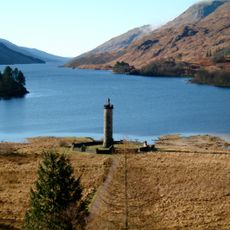
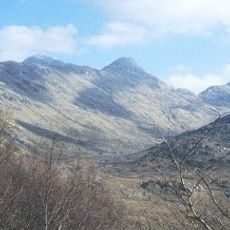
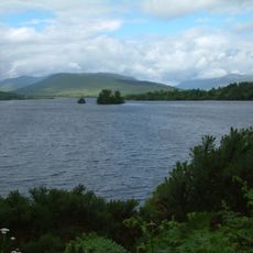
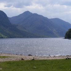
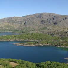
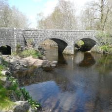
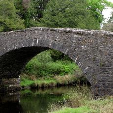
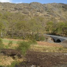
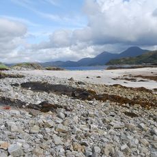
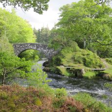
Lochaber is a district in Highland, Scotland, United Kingdom, stretching from Rannoch Moor to the western coastline and covering mountains, lochs, and deep valleys. The landscape shifts between rugged peaks, pine forests, and narrow sea inlets lined with small settlements and isolated farms.
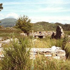
The area formed a lordship during medieval times and included the parishes of Kilmallie and Kilmonivaig until administrative reforms redefined it in 1996. Over the intervening centuries, the region witnessed clan conflicts, economic shifts, and the decline of old power structures.
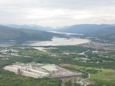
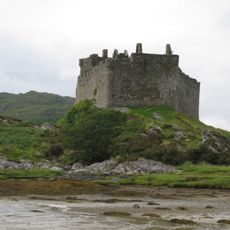
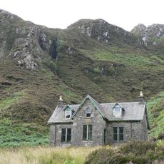
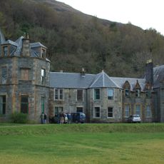
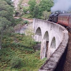
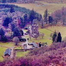
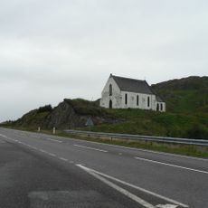
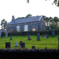
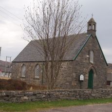
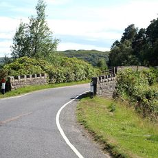
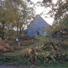
Fort William serves as the focal point for visitors exploring the Scottish Highlands, while surrounding villages maintain their traditional way of life. Walkers often encounter sheep grazing on hillsides and can discover small stone churches that have remained part of local communities for centuries.
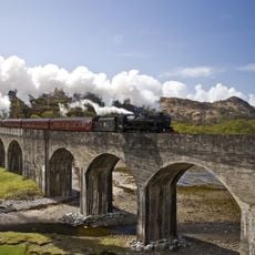
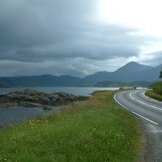
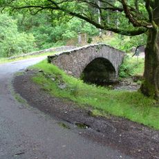
The A82 connects major settlements and provides access to footpaths, coastal stretches, and mountain passes that often remain snow covered in winter. Travelers should prepare for rapidly changing weather, as mist and rain can roll in within minutes.
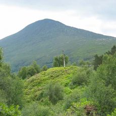
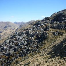
Ben Nevis, the highest peak in the British Isles, rises at the edge of Fort William and draws thousands of walkers each year who attempt to reach the summit. The climb takes several hours and passes through changing vegetation zones to a rocky plateau with a weather station.
The community of curious travelers
AroundUs brings together thousands of curated places, local tips, and hidden gems, enriched daily by 60,000 contributors worldwide.