Chest opened
+${chestReward.xp} XP
Explorer
NOUVEAU ×${chestReward.collectible.quantity}
tapez pour fermer
Chest locked

Open chests in the app

Around Us is built for your phone — chests unlock when you walk, explore and capture nearby places.

Enable Location

We need your location to show you interesting places around you

Discover nearby places

Find interesting locations and hidden gems around you

Precise directions

Get accurate directions and distances to places

Your location is never shared with other users. It's only used when you tap the location button.

Log in to your account

Start exploring — it's free

Trusted by 72,878 travelers worldwide

Continue with Google
Continue with Apple
or

We will send you a code to connect

By continuing, you accept our Terms and Conditions and our Privacy Policy

Check your inbox

We've sent a pincode in your inbox. Please enter the code below.

Discussion Reviews Photo
20.1k Popularity

Croydon South, Parliamentary constituency in the United Kingdom, 1974 onwards

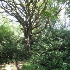
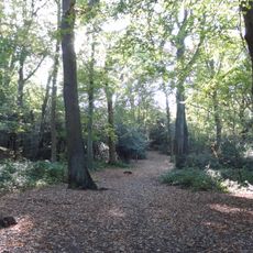
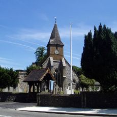
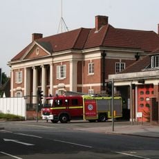
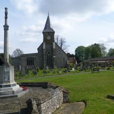
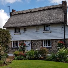
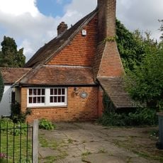
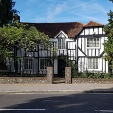
Croydon South is a constituency within the London Borough of Croydon responsible for electing a Member of Parliament. The area encompasses several neighborhoods including South Croydon, Kenley, and Purley, combining residential streets with shopping areas and parks.

The area was created in its current form in 1974, partly from sections of historic East Surrey. Boundaries and names shifted over time, particularly after 1965 when the district became part of Greater London.

The area hosts local markets and community events where residents share traditions and gather together. Shopping streets like Purley Way serve as meeting points where people shop, eat, and connect with their neighborhoods.

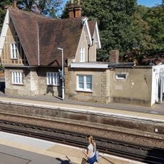
The area has good public transport connections with trains running quickly to central London and Gatwick Airport, plus abundant bus routes. Northern parts have better transport access than southern areas like Selsdon.

Selsdon, a southern district within the area, is historically known as Selsdon Man, a term reflecting conservative political tendencies that often mirror national voting moods. This name emerged because the village's political leanings influenced broader election outcomes.

The community of curious travelers

AroundUs brings together thousands of curated places, local tips, and hidden gems, enriched daily by 60,000 contributors worldwide.

Start exploring
Inception
February 28, 1974
GPS coordinates
51.33100,-0.09800
Latest update
February 16, 2026 22:00
Around this place
Riddlesdown Common
United Kingdom

Riddlesdown Common

904 m
Croham Hurst
United Kingdom

Croham Hurst

2.6 km
Foxley Wood
United Kingdom

Foxley Wood

1.2 km
Church of All Saints
United Kingdom

Church of All Saints

1.7 km
Purley Council Offices Including Attached Railings
United Kingdom

Purley Council Offices Including Attached Railings

1.9 km
Church of All Saints
United Kingdom

Church of All Saints

1 km
Church of St Augustine
United Kingdom

Church of St Augustine

2.4 km
Purley Library
United Kingdom

Purley Library

1.7 km
Church of St Mark
United Kingdom

Church of St Mark

2.8 km
Purley United Reformed Church, Formerly Purley Congregational Church
United Kingdom

Purley United Reformed Church, Formerly Purley Congregational Church

1.6 km
Croydon Aerodrome Battle of Britain Memorial
United Kingdom

Croydon Aerodrome Battle of Britain Memorial

2.7 km
St. James' Riddlesdown
United Kingdom

St. James' Riddlesdown

654 m
Sanderstead War Memorial
United Kingdom

Sanderstead War Memorial

1.6 km
The Thatched Cottage
United Kingdom

The Thatched Cottage

2.6 km
Purley Bury
United Kingdom

Purley Bury

1.2 km
Promenade de Verdun War Memorial
United Kingdom

Promenade de Verdun War Memorial

2.7 km
Kenley Station House (Original 1856 Building)
United Kingdom

Kenley Station House (Original 1856 Building)

707 m
Group of four World War II fighter pens at the former airfield of RAF Kenley
United Kingdom

Group of four World War II fighter pens at the former airfield of RAF Kenley

2.7 km
Croham Hurst round barrow
United Kingdom

Croham Hurst round barrow

2.7 km
The Old Forge
United Kingdom

The Old Forge

1.7 km
Milestone Outside Number 362
United Kingdom

Milestone Outside Number 362

1.6 km
Group of seven World War II fighter pens at the former airfield of RAF Kenley
United Kingdom

Group of seven World War II fighter pens at the former airfield of RAF Kenley

2.7 km
Fox Farm House
United Kingdom

Fox Farm House

2.4 km
The White House
United Kingdom

The White House

1.5 km
Milestone, Grounds of Purley Memorial Hospital
United Kingdom

Milestone, Grounds of Purley Memorial Hospital

1.6 km
Milepost, Sanderstead Hill, by No. 36, half mile N of jct with A2022
United Kingdom

Milepost, Sanderstead Hill, by No. 36, half mile N of jct with A2022

1.3 km
Milestone, Brighton Road, Coulsdon near Milestone Drive
United Kingdom

Milestone, Brighton Road, Coulsdon near Milestone Drive

2.1 km
Milestone, between Kenley & Whyteleafe
United Kingdom

Milestone, between Kenley & Whyteleafe

1.5 km
Show the full map
Reviews
Share your experience

No review yet

Discussions
Start a discussion...

No discussion yet

« Croydon South - Parliamentary constituency in the United Kingdom, 1974 onwards » is provided by Around Us (aroundus.com). Images and texts are derived from Wikimedia project under a Creative Commons license. You are allowed to copy, distribute, and modify copies of this page, under the conditions set by the license, as long as this note is clearly visible.

Discover hidden gems everywhere you go!

From secret cafés to breathtaking viewpoints, skip the crowded tourist spots and find places that match your style. Our app makes it easy with voice search, smart filtering, route optimization, and insider tips from travelers worldwide. Download now for the complete mobile experience.

Around Us App Screenshot

A unique approach to discovering new places

Le Figaro

All the places worth exploring

France Info

A tailor-made excursion in just a few clicks

20 Minutes

Around Us
Travel Guide & Maps
Download

Send to your phone

QR Code
1

Open the camera app on your mobile.

2

Point at the QR code with your camera. A notification will appear.

3

Tap the notification to open the link.