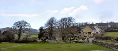
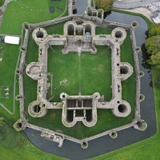
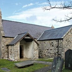
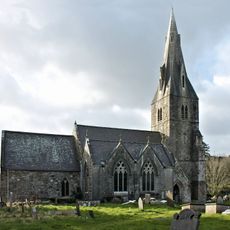
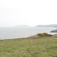
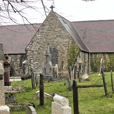
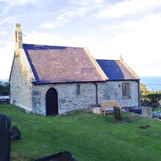
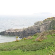
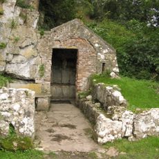
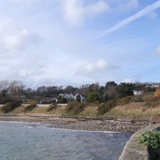
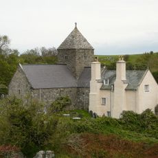
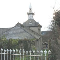
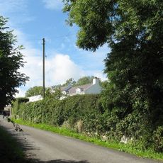
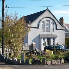
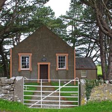
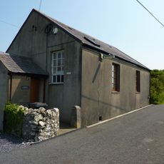
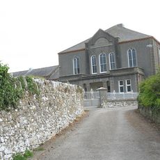
Llangoed, village, community and electoral ward in Anglesey, in north-west Wales
Location: Isle of Anglesey
Inception: April 1, 1974
GPS coordinates: 53.30204,-4.07463
Latest update: March 16, 2025 19:37
Beaumaris Castle
4.3 km
Trwyn Du Lighthouse
2.6 km
Castell Aberlleiniog
1.1 km
St Iestyn's Church, Llaniestyn
3.4 km
Bwrdd Arthur
3.4 km
St Catherine's Church
2.8 km
Fedw Fawr
2.2 km
St Cawrdaf's Church
703 m
Church Of St Michael
3.3 km
Arfordir Gogleddol Penmon
2 km
St Seiriol's Well
1.3 km
Glannau Penmon
1.7 km
Priory Church of St Seiriol
1.2 km
Dovecote And Barn At Penmon Priory
1.3 km
Dinmor Parc quarry
1.7 km
Bwrdd Arthur
3.4 km
Refectory At Penmon Priory
1.2 km
Puffin Island
3.6 km
Haulfre Stables
878 m
Tŷ Mawr
3.1 km
Telegraph Station (former)
4.1 km
Jerusalem Welsh Baptist Church
1.3 km
Lleiniog
1.2 km
Penhwnllys Plas
2.2 km
Rhyd Sunday School
1.4 km
Llanfihangel Sunday School
2.1 km
Ysgoldy Penmon
494 m
Llangoed? Chapel
615 mReviews
Visited this place? Tap the stars to rate it and share your experience / photos with the community! Try now! You can cancel it anytime.
Discover hidden gems everywhere you go!
From secret cafés to breathtaking viewpoints, skip the crowded tourist spots and find places that match your style. Our app makes it easy with voice search, smart filtering, route optimization, and insider tips from travelers worldwide. Download now for the complete mobile experience.
A unique approach to discovering new places❞
— Le Figaro
All the places worth exploring❞
— France Info
A tailor-made excursion in just a few clicks❞
— 20 Minutes