Beinn Achaladair, Mountain summit in Scottish Highlands, United Kingdom
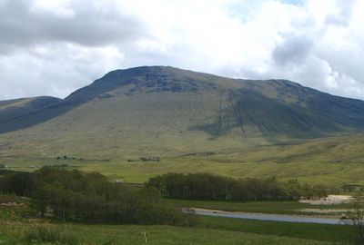
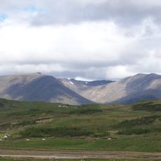
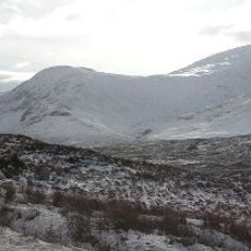
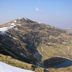
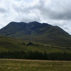
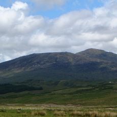
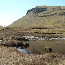
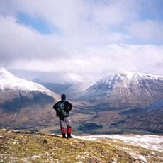
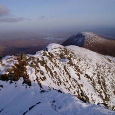
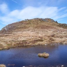
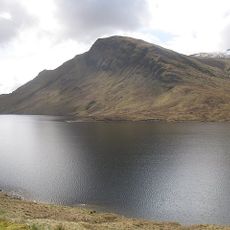
Beinn Achaladair rises to 1,038 meters above sea level, featuring rocky outcrops at its summit and grassy slopes that descend toward the surrounding Highland terrain.
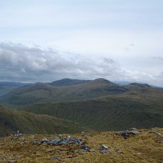
The mountain historically formed part of the 'Great Wall of Rannoch' that marked the ancient territorial boundary between the Pictish Kingdom to the east and the Dál Riata Scots to the west.
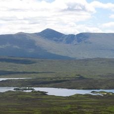
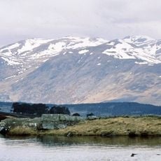
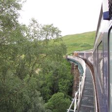
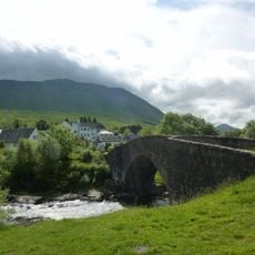
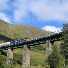
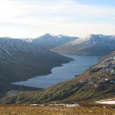
The Gaelic name 'Achaladair' translates to 'Field of hard water', referencing the historically flooded and frozen Loch Tulla area that lies at the mountain's base below.
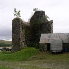
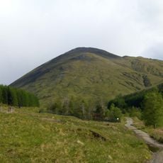
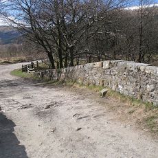
Hikers typically begin their ascent from Achallader farm where parking is available in a designated field, with climbers leaving contributions via an honesty box system established by the landowner.
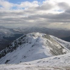
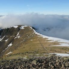
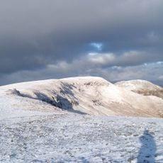
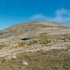
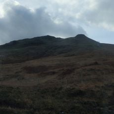
The summit features two cairns with the more northerly one marking the highest point, standing just a few feet taller than the nearby southern cairn structure.
The community of curious travelers
AroundUs brings together thousands of curated places, local tips, and hidden gems, enriched daily by 60,000 contributors worldwide.