Stob a' Choire Odhair, Mountain summit in Argyll and Bute, Scotland.
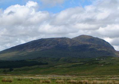
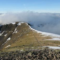
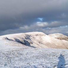
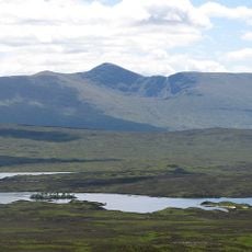
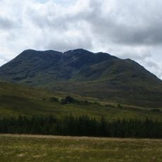
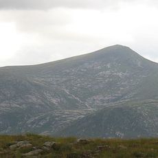
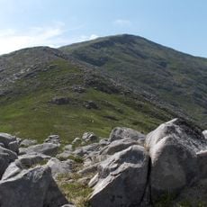
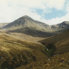
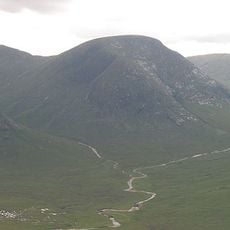
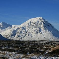
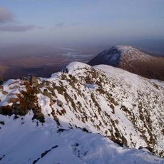
Stob a' Choire Odhair is a mountain summit in Argyll and Bute, Scotland, reaching 945 meters about 8 kilometers northwest of Bridge of Orchy. The mountain drops steeply toward Rannoch Moor, creating dramatic views across the surrounding mountains and moorland.
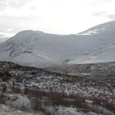
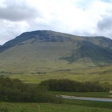
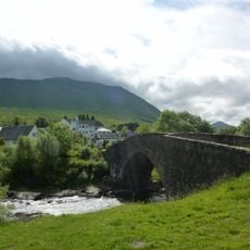
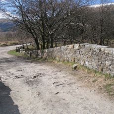
The mountain formed during ancient geological upheaval that shaped the Scottish Highlands millions of years ago. A military road was built on its lower eastern slopes in the 1750s, and later an old drovers' route was improved by engineer Thomas Telford in 1803.
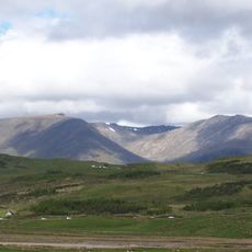
The Gaelic name means 'Peak of the dun-coloured corrie', reflecting how the local landscape has always been named in the Scottish Highlands. Visitors can see how this mountain sits within a traditional deer forest managed for hunting, a practice that has shaped the land for generations.
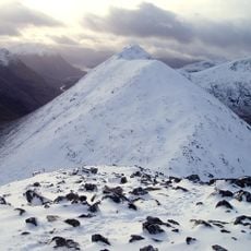
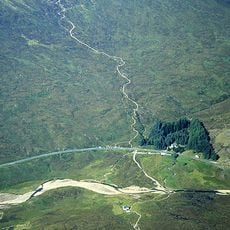
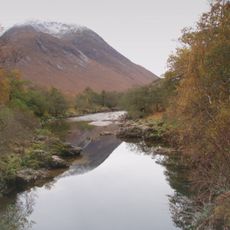
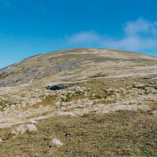
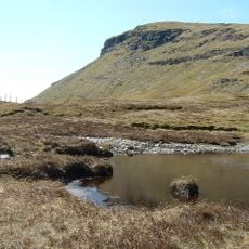
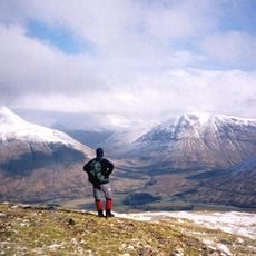
The climb starts at Victoria Bridge and follows a zigzag stalkers' path that offers a direct route to the summit for experienced mountain walkers. The terrain is open and exposed, so visitors should be prepared for rapidly changing weather conditions.
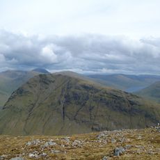
The summit sits where three ridges meet within the Black Mount deer forest, named after the dark peat hags that blanket the surrounding moorland. This junction of multiple high routes makes it a key landmark for mountain walkers navigating the region.
The community of curious travelers
AroundUs brings together thousands of curated places, local tips, and hidden gems, enriched daily by 60,000 contributors worldwide.