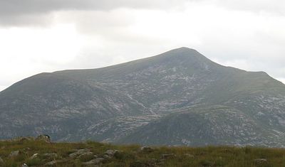
Stob Coir' an Albannaich, Mountain summit in Argyll and Bute, Scotland
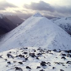
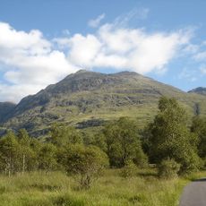
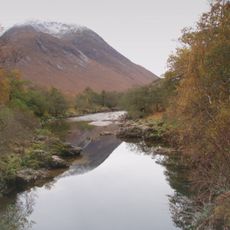
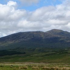
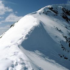
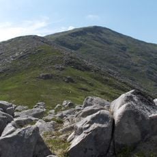
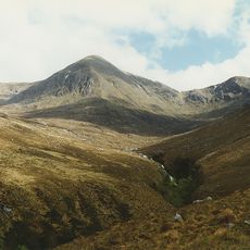
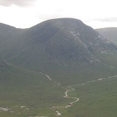
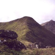
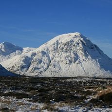
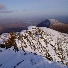
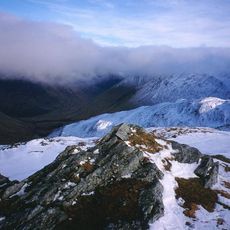
Stob Coir' an Albannaich is a mountain summit in the Scottish Highlands that rises to 1044 meters. The peak features steep lower slopes and is marked by a prominent stone cairn at its pointed top.
The Gaelic name translates to 'peak of the corrie of the Scotsman' and reflects the mountain's regional significance. Early survey teams used the summit for triangulation measurements during the mapping of Scotland.
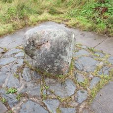
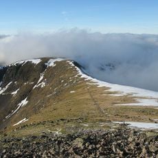
The summit contains an important stone cairn structure that marks the location where early triangulation measurements were conducted by the Ordnance Survey teams.
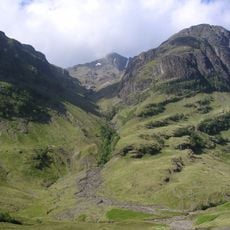
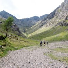
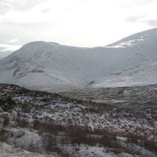
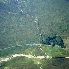
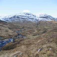
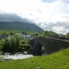
This summit is accessible via multiple walking routes that start from Glen Etive. Plan your visit during daylight hours and good weather conditions, as the steep slopes require careful footing.
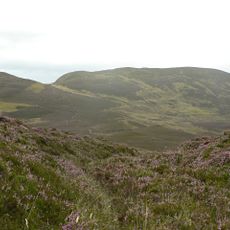
This peak sits between Meall Tarsuinn and Glas Bheinn Mhor, forming a natural boundary between regional territories. Its position made it a key reference point for mapmakers tracking administrative borders.
The community of curious travelers
AroundUs brings together thousands of curated places, local tips, and hidden gems, enriched daily by 60,000 contributors worldwide.