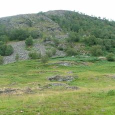
Ben Chonzie, Mountain summit in Perthshire, Scotland
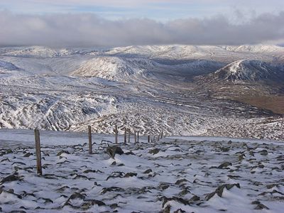
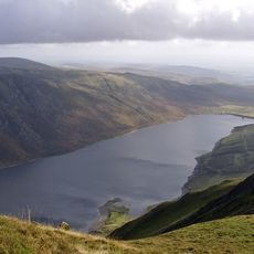
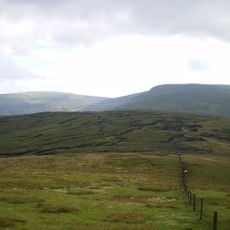
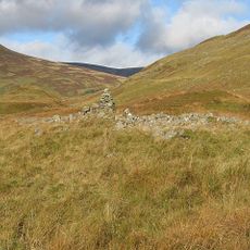
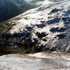
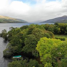
Ben Chonzie is a mountain summit in Perthshire, Scotland, sitting at 931 meters and positioned between Glen Lednock and the Strathearn valley. The top is surrounded by open heather moorland, with views stretching across nearby hills and glens.
In 1891, Hugh Munro listed this peak in his catalog of Scottish summits above 914 meters, which brought walkers to the area for the first time in large numbers. That listing shaped how the mountain has been visited and talked about ever since.
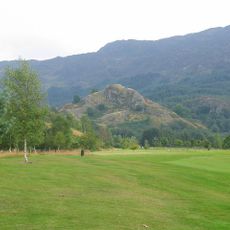
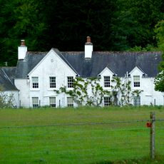
The slopes have long served as grazing land for sheep tended by local herders who maintain Highland farming traditions. This use shapes how the landscape looks today and how people move through it.
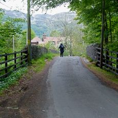
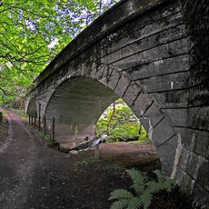
The most common route starts from Invergeldie in Glen Lednock and follows a clear path through moorland up to the summit cairn. The upper ground is open and exposed to wind, so waterproof gear and sturdy footwear are worth bringing whatever the season.
Mountain hares live on the upper slopes and grow white coats in winter, making them very hard to spot against the snow. Walkers who move slowly and quietly sometimes come across them at close range without meaning to.
The community of curious travelers
AroundUs brings together thousands of curated places, local tips, and hidden gems, enriched daily by 60,000 contributors worldwide.