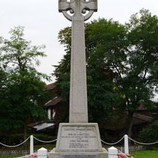
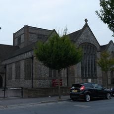
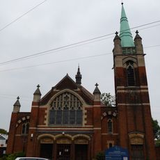
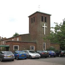
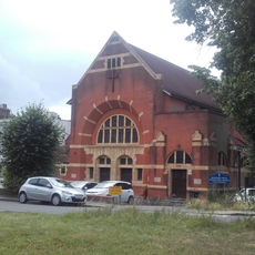
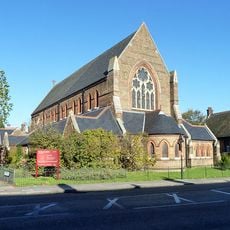
Chingford, Suburban area in northeastern London, United Kingdom.
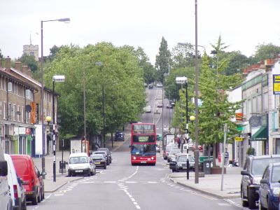
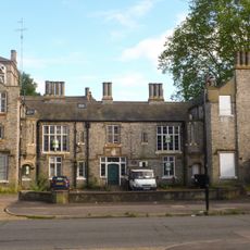
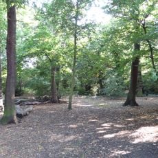
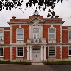
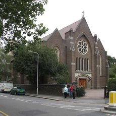
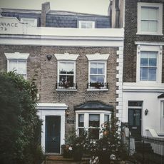
Chingford is a residential area in northeastern London that borders Epping Forest and is served by the London Overground. Streets are lined with early 20th-century terraced houses, interspersed with shopping parades and green spaces at the forest edge.
The place was recorded in the Domesday Book of 1086 as Cingefort and remained a village by the forest for centuries. From the 1870s onward, the railway connection led to rapid expansion as a London suburb.
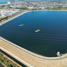
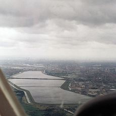
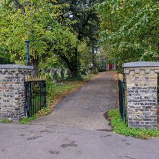
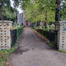
The name derives from the River Ching, which flows through the area and once formed a ford crossing. Residents today use the green spaces along the river and forest edge for walks and outdoor gatherings.
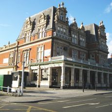
The London Overground runs directly here from the city center, and the station sits close to Chingford Mount with shops and bus stops. Parks such as Memorial Park and Chase Lane Park offer lawns and paths for visitors.
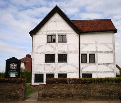
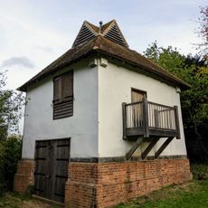
A preserved 16th-century hunting lodge stands in the forest and once served Henry VIII as a viewing platform during deer hunts. The building is now a small museum and displays its timber-frame construction and wooden beams.
Location: London Borough of Waltham Forest
GPS coordinates: 51.63100,0.01600
Latest update: December 13, 2025 16:39
Woodford County High School
2.7 km
Banbury Reservoir
4.6 km
Friday Hill House
1 km
Chingford Reservoirs
2.8 km
Bull and Crown
1.1 km
Chingford War Memorial
1.2 km
Pickett's Lock
3.4 km
Church of St Peter and St Paul
1 km
All Saints' Church
2.5 km
Ainslie Wood
2.9 km
Chingford Town Hall
1.4 km
Eley Industrial Estate
4.5 km
St. Mary with St. John's Church, N18
5.3 km
Our Lady of Grace and St Teresa of Avila
998 m
St Edmund's Church
2.8 km
Chingford United Reformed Church
793 m
St Anne's Church
1.9 km
Pole Hill Obelisk
1.4 km
The United Free Church
2.3 km
Regal Cinema
2.9 km
Entrance Range Including Tote Board At Walthamstow Stadium
3.9 km
St Peter the Apostle
4.6 km
St John's
4.3 km
Chingford Mount War Memorial
2.8 km
Church of St Peter and St Paul Churchyard Gate and Gatepiers (South of Church)
1 km
Church of St Peter and St Paul Churchyard Gates and Gatepiers (North of Church)
1.1 km
Pimp Hall Dovecote
960 m
3, High Elms
2.3 kmVisited this place? Tap the stars to rate it and share your experience / photos with the community! Try now! You can cancel it anytime.
Discover hidden gems everywhere you go!
From secret cafés to breathtaking viewpoints, skip the crowded tourist spots and find places that match your style. Our app makes it easy with voice search, smart filtering, route optimization, and insider tips from travelers worldwide. Download now for the complete mobile experience.
A unique approach to discovering new places❞
— Le Figaro
All the places worth exploring❞
— France Info
A tailor-made excursion in just a few clicks❞
— 20 Minutes