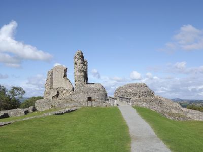
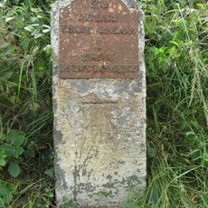
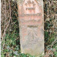
Montgomery Castle, Medieval castle ruins in Montgomery, Wales
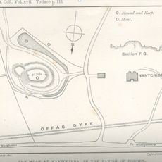
Montgomery Castle is a ruined medieval fortress perched on a steep rocky hill above the town of Montgomery in Wales. The remaining stone walls and fragments of towers are spread across the hilltop, outlining the original layout with its inner ward, outer ward, and gatehouse.
King Henry III had this fortress built in 1223 as part of England's effort to hold the Welsh borderlands and curb the power of Prince Llywelyn ap Iorwerth. The castle was later slighted during the English Civil War in the 17th century, and its stones were never rebuilt after that point.
The castle is known in Welsh as Castell Trefaldwyn, a name that refers to Baldwin de Boulers, a Norman lord who held the area before this structure was built. Locals and visitors alike use both names, and the Welsh form is still common in everyday speech across the region.
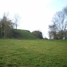
The site sits on an uneven hilltop, so sturdy footwear is strongly recommended, especially after rain when the ground becomes slippery. The walk up from the town center is short but fairly steep, and the top of the hill offers an open view in all directions.
The Treaty of Montgomery, signed here in 1267, was the first time an English king formally recognized a Welsh prince as a legitimate ruler over his own lands. This diplomatic agreement is often overlooked compared to the military side of the site's story, yet it was more far-reaching in its consequences.
The community of curious travelers
AroundUs brings together thousands of curated places, local tips, and hidden gems, enriched daily by 60,000 contributors worldwide.