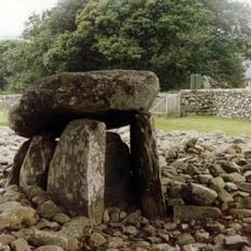
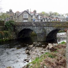
Moelfre, Mountain summit in Gwynedd, United Kingdom
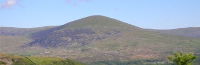
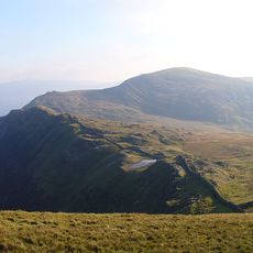
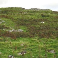
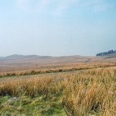
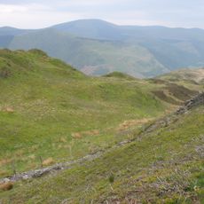
Moelfre is a peak in the western edge of Snowdonia National Park that reaches about 589 meters high. A large stone cairn sits at the summit, while bare moorland surrounds the mountain and extends across the surrounding valleys.
The summit has long served as a reference point for local cartographers and climbers, with a large stone cairn marking the site for generations. This enduring marker shows the mountain's importance as a navigation landmark across the Welsh uplands.
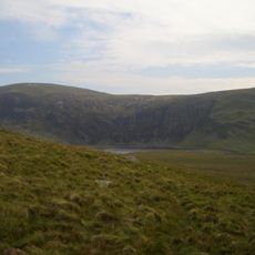
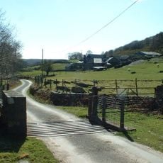
The name Moelfre comes from Welsh and means bare hill, which matches what visitors see today - open moorland without trees or buildings. This barren landscape shapes how people experience the place when they climb to the top.
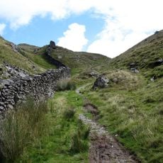
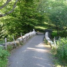
Several marked trails lead up to the summit from nearby valleys, with the clearest conditions typically found between March and October. Weather can change quickly on exposed moorland, so visitors should bring layers and protective gear even during warmer months.
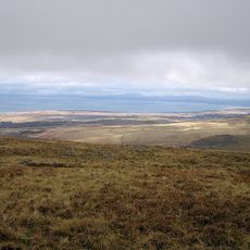
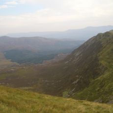
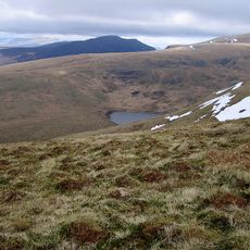
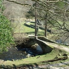
The mountain serves as a natural boundary between two different Welsh valleys, Cwm Nantcol and Ysgethin Valley. From the summit, visitors see both valleys stretched out below, revealing how geography divides this region into distinct areas.
The community of curious travelers
AroundUs brings together thousands of curated places, local tips, and hidden gems, enriched daily by 60,000 contributors worldwide.