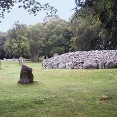
Cawdor, Roman military fort in Highland, Scotland
Cawdor is a Roman military fort in Highland Scotland featuring a rectangular fortification that was once surrounded by a defensive ditch and included corner posts with wooden buildings. The excavated remains show how soldiers would have occupied this outpost to monitor and control the northern frontier.
The fort was established under General Agricola around 80 to 130 AD as Rome pushed its frontier northward into Scotland. Occupation appears to have lasted several decades before Romans withdrew from this northern region and the site was abandoned.
The fort marks a critical frontier in Rome's reach northward into Britain under Agricola's command. Visitors stand at the edge of what was once the empire's most distant military outpost in this region.
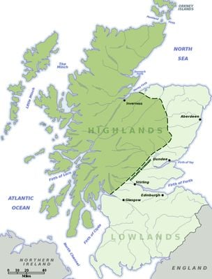
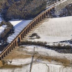
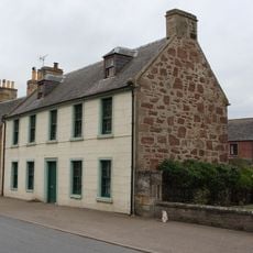
The site is located near Easter Galcantray village, about 15 miles east of Inverness, and can be reached by local roads. Today the fort lies mostly underground with only subtle surface features visible, so visitors benefit from understanding what lies beneath before arriving.
The fort was discovered only in 1984 through aerial photography when crop marks revealed its hidden layout beneath farmland. This discovery method proved crucial for finding and understanding Roman military posts scattered across the landscape in this remote region.
The community of curious travelers
AroundUs brings together thousands of curated places, local tips, and hidden gems, enriched daily by 60,000 contributors worldwide.