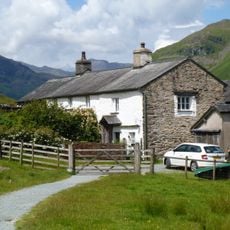
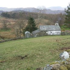
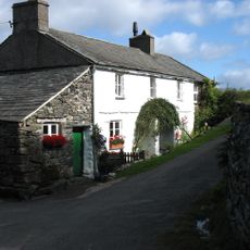
Tarn Hows, lake in the United Kingdom
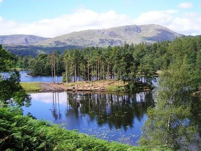
Tarn Hows is a small lake in the Lake District National Park with clear water and gentle surroundings. The walking path around it is about one and a half miles long and passes through trees with views of five small islands in the water.
The lake was formed during the ice age when glaciers carved out a basin. In Victorian times it was shaped using dams to create the water body that exists today.
The name Tarn Hows comes from Old English meaning hill by a mountain lake. Today you see visitors taking walks at a leisurely pace, stopping to photograph the five small islands and watching reflections of sky and trees on the calm water.
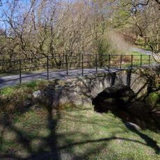
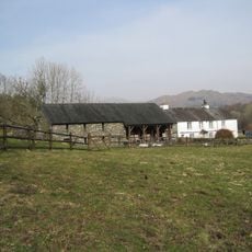
There is a parking area with a visitor center built in 2008 that offers toilet facilities and local information. You can reach it by car from Ambleside or Coniston, by bus from Hawkshead, or by taking the historic steam ferry from Coniston pier.
The water is fed by rain and streams, but the lake appears completely natural even though it was created by Victorian engineers using dams. Most visitors see it as a natural landscape feature without realizing its constructed origins.
Location: Westmorland and Furness
GPS coordinates: 54.39166,-3.03194
Latest update: January 8, 2026 13:39
The Lake District covers the hills and valleys of Cumbria where lakes sit among mountains. Windermere, the largest, has boats crossing its waters for many years. Derwentwater, near Keswick, attracts walkers who circle its shores on foot. Ullswater offers a more quiet setting, while Buttermere and...
Beatrix Potter Gallery
2.8 km
Holme Fell
1.7 km
Black Fell
1.8 km
St Michael and All Angels Church, Hawkshead
2.9 km
Hawkshead Town Hall Town Hall Cottage
2.9 km
Monk Coniston
2.1 km
Anne Tyson's Cottage
2.8 km
Pierce How Bridge
3 km
Shepherd's Bridge
1.7 km
Low Yewdale Farmhouse and Cottage
2.1 km
High Yewdale Farmhouse and outbuildings
1.6 km
High Park Cottages
2.9 km
Low Oxen Fell Cottage
2.1 km
Former Solicitor's Office
2.8 km
High Oxen Fell Farmhouse
2 km
Hawkshead Courthouse
2.3 km
Hawkshead War Memorial
2.9 km
Monk Coniston
2.2 km
Eye Catcher Approximately 202 Metres North East Of Sheperd Bridge
3.2 km
High Tilberthwaite Farmhouse and outbuilding
2.6 km
Low Arnside Farmhouse And Barn
1.9 km
Boon Crag Farmhouse
2.3 km
Low Tilberthwaite
2.8 km
Low Colwith With Attached Farm Buildings
3.1 km
High Colwith
3.1 km
Atkinson Ground House
2.6 km
Yew Tree Farmhouse
1.2 km
Barn to south west of Yew Tree Farmhouse
1.2 kmVisited this place? Tap the stars to rate it and share your experience / photos with the community! Try now! You can cancel it anytime.
Discover hidden gems everywhere you go!
From secret cafés to breathtaking viewpoints, skip the crowded tourist spots and find places that match your style. Our app makes it easy with voice search, smart filtering, route optimization, and insider tips from travelers worldwide. Download now for the complete mobile experience.
A unique approach to discovering new places❞
— Le Figaro
All the places worth exploring❞
— France Info
A tailor-made excursion in just a few clicks❞
— 20 Minutes