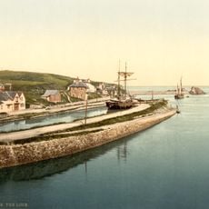
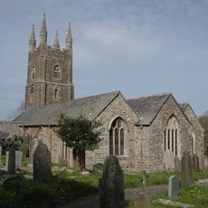
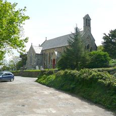
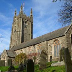
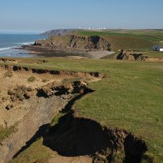
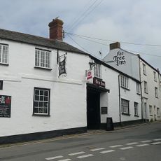
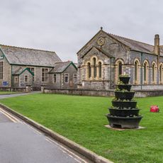
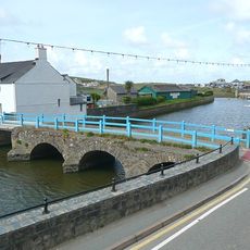
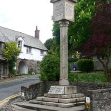
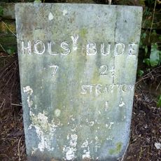
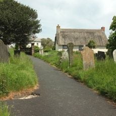
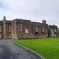
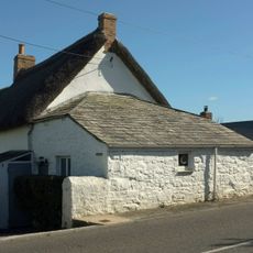
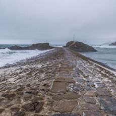
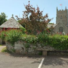
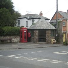
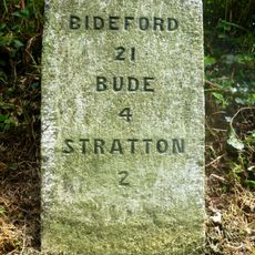
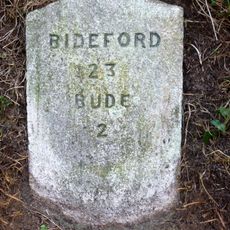
Bude-Stratton, civil parish in Cornwall, United Kingdom
Location: Cornwall
Shares border with: Kilkhampton, Marhamchurch, Launcells
Website: https://bude-stratton.gov.uk
GPS coordinates: 50.83209,-4.53072
Latest update: March 6, 2025 07:15
Bude Canal
1.3 km
The Storm Tower
1.9 km
St Olaf's Church, Bude
1.1 km
St Michael and All Angels Church, Bude
1.5 km
St Andrew's Church, Bude
1.3 km
Duckpool to Furzey Cove
3.3 km
Parish Church of St Marwenne
3 km
Church of St Swithin
2.7 km
Flexbury Park Methodist Church
836 m
The Tree Inn
1.2 km
Central Methodist Chapel
1.1 km
Nanny Moore's Bridge
1.1 km
Stratton War Memorial
1.2 km
Bude Library
1.3 km
Milestone Opposite Brooks Garden Centre (Ngr Ss2398305435)
2.4 km
Shalder Hill War Memorial
1.1 km
Rose Cottage
3 km
The Castle And Walls To The North West And South East
1.3 km
Milepost About 100 Metres North Of Rodds Bridge
1.9 km
Milestone East Of Thurlibeer House
3.9 km
The Thatch
1.9 km
The Breakwater
1.8 km
Lych Gate to Churchyard of Church of St Marwenne
3 km
Woodknowle
4.1 km
K6 Telephone Kiosk, Poughill
1.1 km
Milestone, Barnacott, lay-by (the old road)
3.8 km
Milestone, Bush, cutting on old road over Hunthill
2.3 km
Milestone, on line of old main road, NW of Townsend
1.2 kmVisited this place? Tap the stars to rate it and share your experience / photos with the community! Try now! You can cancel it anytime.
Discover hidden gems everywhere you go!
From secret cafés to breathtaking viewpoints, skip the crowded tourist spots and find places that match your style. Our app makes it easy with voice search, smart filtering, route optimization, and insider tips from travelers worldwide. Download now for the complete mobile experience.
A unique approach to discovering new places❞
— Le Figaro
All the places worth exploring❞
— France Info
A tailor-made excursion in just a few clicks❞
— 20 Minutes