Annandale Way, Scottish hiking trail
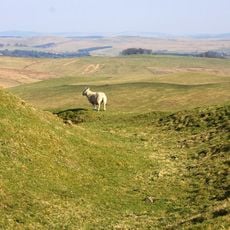
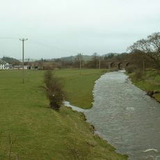
Annandale Way is a long-distance trail in Dumfries and Galloway that follows the River Annan from Moffat to the Solway Firth. The route runs mostly on dirt and gravel paths through fields, woodlands, and along riverbanks, splitting into two sections at Corncockle Wood - a more challenging route via Lochmaben and an easier one through Lockerbie.
The trail follows ancient trade routes that people have used through this area for centuries. It was officially reopened as part of a larger project to connect scenic walking areas and is now part of Scotland's Great Trails network.
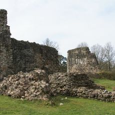
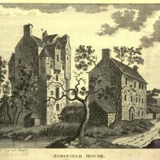
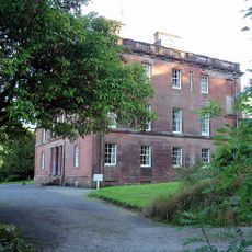
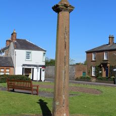
The name comes from the River Annan that the trail follows from source to sea. Along the route you see old stone buildings and small farms that show how people have lived and worked in this valley for centuries.
The trail is open year-round with good signposts marking most sections, though fog in the northern areas near Moffat can reduce visibility. You can reach the starting point at Moffat by bus from Carlisle and Glasgow, and from Annan you can take a train back to Carlisle via Dumfries.
The Solway Firth at the trail's end has dramatic tidal changes that transform the shoreline within hours. This creates a special place to experience the power of natural forces and observe the shifting bird populations that adapt to the changing waters.
The community of curious travelers
AroundUs brings together thousands of curated places, local tips, and hidden gems, enriched daily by 60,000 contributors worldwide.