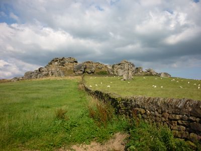
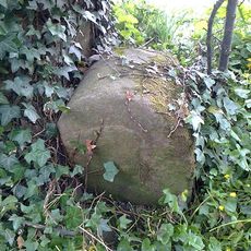
Almscliffe Crag, Millstone grit outcrop near North Rigton, England.
Almscliffe Crag is a gritstone rock formation near North Rigton that stands prominently above the surrounding landscape. Its coarse sandstone surfaces display distinctive textures, and natural caves run through its interior structure.
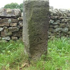
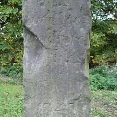
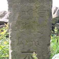
The formation first appears in records from the 13th century under the name Almusclyve, marking its early documented history. Carved initials of notable visitors including Thomas Fawkes and Edwin Lascelles remain etched into the rock crevices.
At the top of the crag sits a small natural basin called Wart Well, which held special meaning for local people over many centuries. Visitors once came here believing that dipping their hands in the water could heal skin conditions.
This location is popular with climbers and offers many climbing routes of different difficulty levels. Be aware that access may be restricted during bird nesting periods from February through early February.
This formation served as a filming location for television productions, most notably in the British series Emmerdale. The distinctive rocks featured in the opening sequence of the long-running show for several years.
The community of curious travelers
AroundUs brings together thousands of curated places, local tips, and hidden gems, enriched daily by 60,000 contributors worldwide.