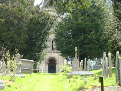
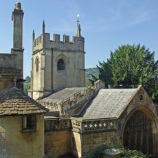
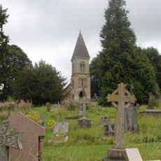
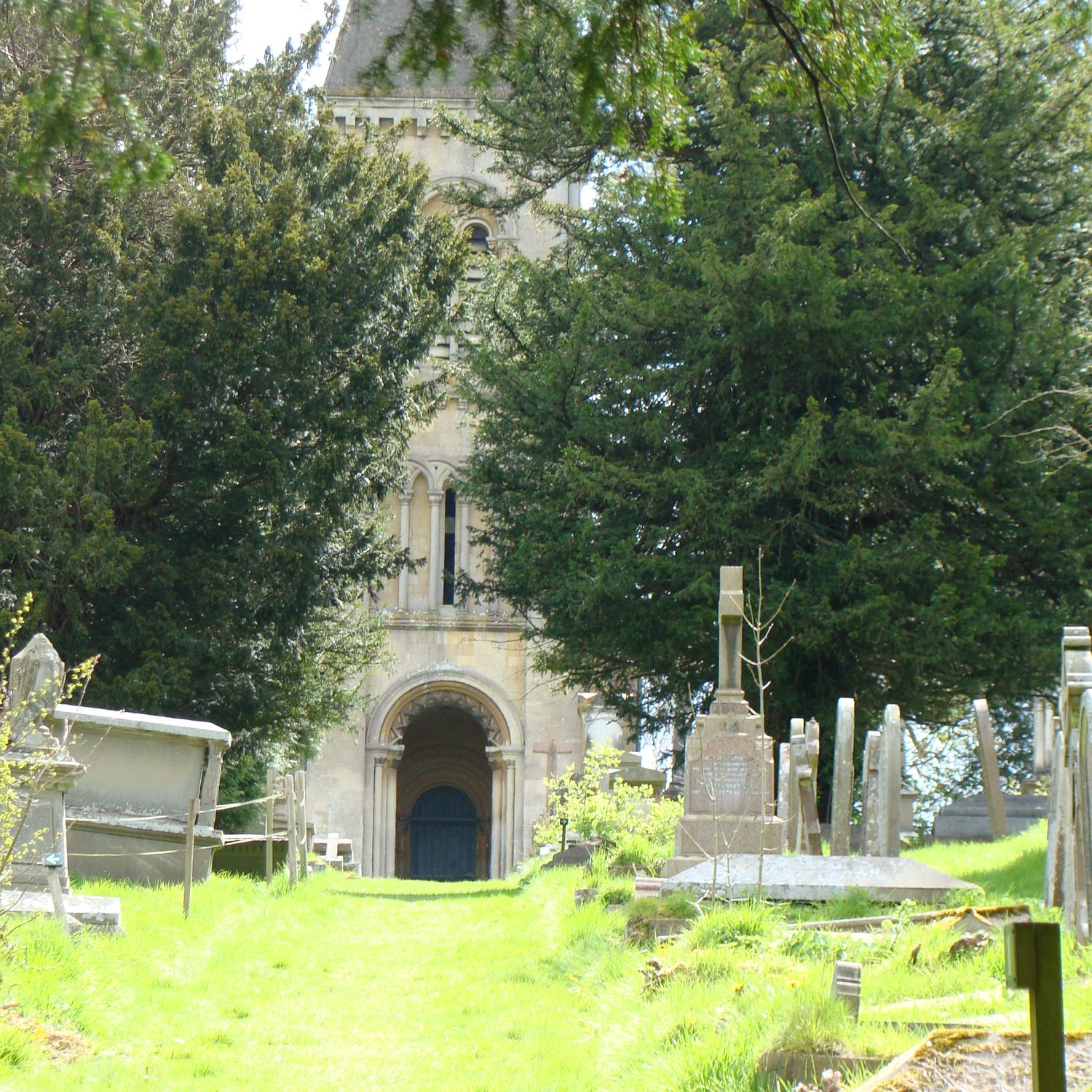
Bath Abbey Cemetery, Victorian cemetery at Widcombe, Bath, England
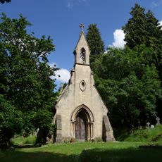
Bath Abbey Cemetery is a Victorian-era burial ground situated on a hillside featuring winding paths beneath mature trees, including copper beech, oak, and redwood species. The three-hectare site displays ornate monuments and gravestones that showcase the craftsmanship evident throughout the grounds.
Designed by landscape architect John Claudius Loudon, the cemetery opened in 1844 to address burial space shortages at Bath Abbey's main church. Its establishment reflected the growing need for separate cemeteries during the Victorian period.
Samuel Rogers, who worked here as a sexton and monument maker, left his mark through ornate gravestones and memorials scattered throughout the grounds. His carved works reflect how local artisans shaped the character of the place and its appearance today.
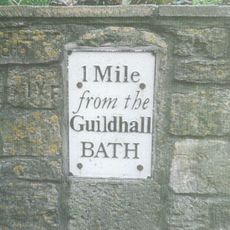
The cemetery is reached through a wooden gate at the north corner, roughly a 15-minute walk from Bath city center. The rolling terrain is accessible year-round, though paths are easiest to navigate when conditions are dry.
A notable 1856 memorial on the grounds honors Crimean War casualties in an unusual way by commemorating both military officers and ordinary soldiers together. This makes it one of the few monuments from that era that gave equal recognition to both ranks.
Location: Bath and North East Somerset
Website: https://batharchives.co.uk/cemeteries/st-john-evangelist-perrymead
GPS coordinates: 51.37010,-2.34810
Latest update: December 11, 2025 11:09
Prior Park
622 m
Prior Park Landscape Garden
443 m
Widcombe Manor House
388 m
Bath Locks
800 m
Crowe Hall
468 m
St Thomas à Becket Church, Widcombe
383 m
St Matthew's Church, Widcombe
749 m
Widcombe Crescent
569 m
Fountain At Widcombe Manor House
367 m
Anglican Cemetery Chapel, St Mary's Churchyard
767 m
Stable And Coach House Block Of Lycombe House
555 m
Lyncombe Hall
478 m
Widcombe Baptist Church, With Raised Pavement And Railings
832 m
Palladian Bridge In Grounds Of Prior Park
276 m
Mortuary Chapel In Abbey Cemetery
55 m
Footbridge Adjoining Wash House Lock
812 m
1 and 2, Cambridge Place
728 m
Bridge Over Footpath Between Fersfield And Prior Park Farm Woods
388 m
East Wing And Porte Cochere
699 m
Wash House Lock
821 m
Milepost At St760641
537 m
Gate Piers At South End Of Ralph Allen Drive
863 m
Boundary Marker Opposite Macauley Buildings
717 m
Southcot House
753 m
Lower Lodge, With Walls, Railings And Piers
249 m
Bath Deep Lock
815 m
Gate Piers, Gates And Boundary Walls To South Of Widcombe Manor
368 m
Milepost, Widcombe Hill, by "Greenlea"
537 mVisited this place? Tap the stars to rate it and share your experience / photos with the community! Try now! You can cancel it anytime.
Discover hidden gems everywhere you go!
From secret cafés to breathtaking viewpoints, skip the crowded tourist spots and find places that match your style. Our app makes it easy with voice search, smart filtering, route optimization, and insider tips from travelers worldwide. Download now for the complete mobile experience.
A unique approach to discovering new places❞
— Le Figaro
All the places worth exploring❞
— France Info
A tailor-made excursion in just a few clicks❞
— 20 Minutes