Bampton Castle, Medieval motte-and-bailey castle in Bampton, Devon, England.
Bampton Castle is a Norman fortification in Devon featuring an earthwork mound roughly twelve meters high surrounded by a circular ditch and a rectangular fortified enclosure. The surviving remains reveal the typical construction methods of early Norman military works using earth and timber.
The fort was founded around 1067 by Walter Douai to secure control over English territory following the Norman takeover. It was severely damaged in 1136 when King Stephen's forces besieged it and destroyed its timber defenses.
The site demonstrates how the Normans established control through fortified positions across the English landscape after their arrival. You can see how the layout was designed to combine military strength with the natural features surrounding it.
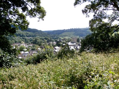
Steps lead up the mound and allow visitors to reach the top for views over Bampton and the surrounding countryside. The site is accessible but sits on private land, so visitors should exercise consideration for the property.
The square-shaped mound made use of the River Batherm as a natural defense line, with one side of the fortification directly protected by water. This clever integration of geography into the design shows how early Norman works adapted to their surroundings.
The community of curious travelers
AroundUs brings together thousands of curated places, local tips, and hidden gems, enriched daily by 60,000 contributors worldwide.