Combe, Dulverton, Medieval estate in Dulverton, England
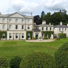
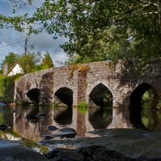
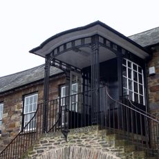
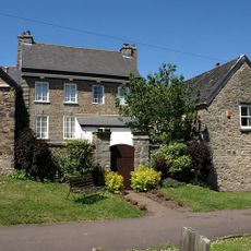
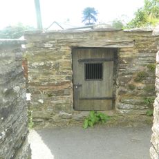
Combe is an estate featuring a U-shaped manor house set within woodlands, riverside paths, and open fields throughout Exmoor National Park in Somerset. The building displays random rubble stone walls, slate roofs, and a music room with an arched ceiling of five bays.
The estate belonged to Taunton Priory until King Henry VIII dissolved the monasteries in the 1530s. The Sydenham family then acquired and managed the property for the next several centuries.
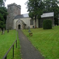
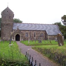
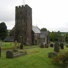
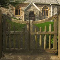
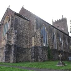
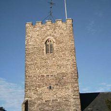
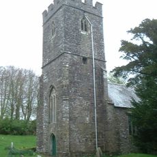
The chapel on the grounds displays features of rural English sacred architecture, and the gardens reflect centuries of design choices by successive residents. The way visitors move through these spaces reveals layers of occupation and personal taste.
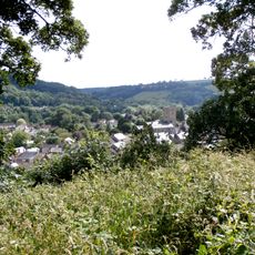
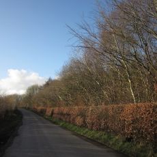
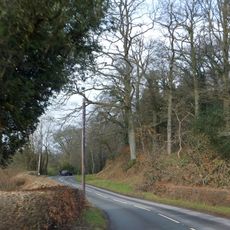
Several walking trails connect the estate to Dulverton town center, where visitors find maps and information available. The grounds are easiest to explore on foot, and most pathways are straightforward to follow throughout the property.
The manor house preserves original 16th-century elements including linenfold paneling and decorative plasterwork that display English craftsmanship. These ornamental details remain as well-preserved in few other houses of the region.
GPS coordinates: 51.02960,-3.55150
Latest update: December 12, 2025 17:48
Pixton Park
1.4 km
Bampton Castle
6.2 km
Ashwick House
4.6 km
Barle Bridge
1.1 km
Bury Bridge
3.2 km
Church of St Nicholas, Brushford
1.2 km
St George's Church, Morebath
4.4 km
Church of All Saints
1.3 km
Briggins Moor
2.6 km
Church of St Mary
6.1 km
Bury Castle, Brompton Regis
2.6 km
Market Hall
1.2 km
Church of St Petrock
6.1 km
Church of St Giles
6.5 km
Church of St Peter
5.5 km
Church of St Michael and All Angels
6.3 km
Church of St Michael
4.6 km
Bampton Library
6.3 km
Milestone At Ngr Ss 9258 3206
5.5 km
The Toll-House
3.2 km
Milestone At Ngr Ss 9737 2849
6.4 km
Milestone Immediately In Front Of No 32 Brook Street
6.4 km
Leburn House And Lower Leburn, Including Stable Block And Rear Garden Walls
6.2 km
Brompton Regis Lock-Up
6.1 km
Milestone At Ngr Ss 93121 29647
3.4 km
Milestone, Cowridge Bottom, above River Exe, 200m N of bends warning sign
3.8 km
Milestone, Bury Castle, opp. Woodland
2.4 km
Milestone, 500m S of Somerset border N of Exebridge
2.7 kmVisited this place? Tap the stars to rate it and share your experience / photos with the community! Try now! You can cancel it anytime.
Discover hidden gems everywhere you go!
From secret cafés to breathtaking viewpoints, skip the crowded tourist spots and find places that match your style. Our app makes it easy with voice search, smart filtering, route optimization, and insider tips from travelers worldwide. Download now for the complete mobile experience.
A unique approach to discovering new places❞
— Le Figaro
All the places worth exploring❞
— France Info
A tailor-made excursion in just a few clicks❞
— 20 Minutes