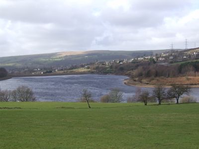
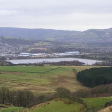
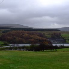
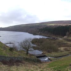
Bottoms Reservoir, lake in the United Kingdom
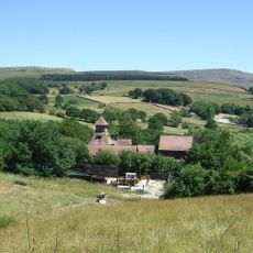
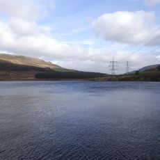
Bottoms Reservoir is a man-made water body in the Longdendale area of Derbyshire, England, created to supply water to the region. A dam holds the water back, and a walking path runs across the top, allowing visitors to see the full expanse of the water and the surrounding countryside from this elevated vantage point.
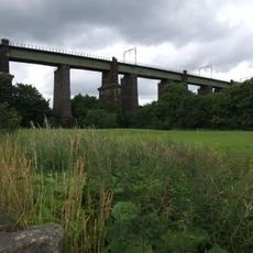
Built between 1865 and 1877 by engineer John Frederick Bateman, this reservoir was part of the Longdendale Chain, a series designed to direct water from the River Etherow toward Manchester. Turbines added in 1877 generated electricity for the local area, though they were later removed, and the structure continues to serve water management purposes today.
The name Longdendale refers to the valley where this water body sits, a geographical feature that shapes how locals and visitors experience the landscape. Walking around the reservoir, you notice how the water has become part of everyday outdoor life in the Peak District, used both for quiet recreation and practical water management.
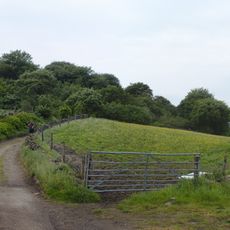
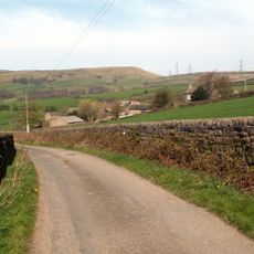
The walking path around the reservoir is about 1.5 miles (2.4 kilometers) long and mostly flat, making it accessible for families and people of all ages. The route is straightforward to follow, and a typical stroll takes between 30 to 45 minutes, leaving plenty of time to enjoy the views.
The reservoir originally featured turbines installed in 1877 that generated electricity for about 28 years, powering local offices and an early electric railway serving the area. This pioneering use of water-powered electricity for local transportation is a notable aspect of Victorian-era engineering that visitors often overlook.
The community of curious travelers
AroundUs brings together thousands of curated places, local tips, and hidden gems, enriched daily by 60,000 contributors worldwide.