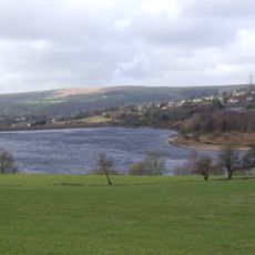
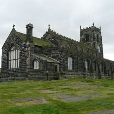
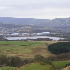
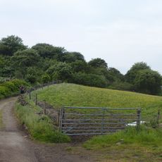
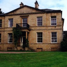
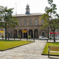
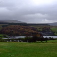
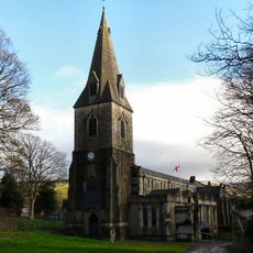
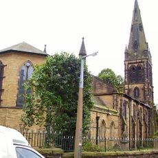
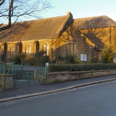
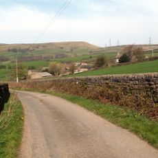
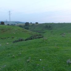
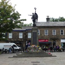
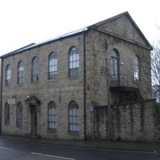
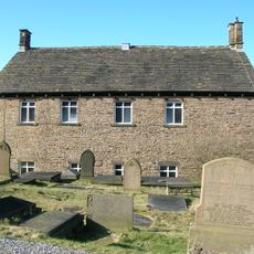
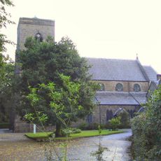
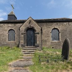
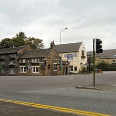
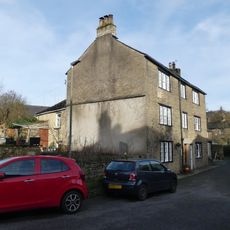
Charlesworth, village and civil parish in High Peak, Derbyshire, England
Location: High Peak
Shares border with: Tintwistle, Hope Woodlands, Chisworth, Glossop, Hayfield
GPS coordinates: 53.43300,-1.99300
Latest update: May 26, 2025 19:46
Bleaklow
9.4 km
Ardotalia
2.2 km
Dinting Viaduct
2.1 km
Bottoms Reservoir
4.5 km
St Michael and All Angels Church, Mottram
2.6 km
Arnfield Reservoir
4.5 km
Broadbottom Viaduct
1.2 km
Mouselow Castle
3.4 km
Mottram Old Hall, Tameside
3.5 km
Glossop Town Hall and Market Hall
3.1 km
Swineshaw Reservoir
4.7 km
Church of All Saints
4.1 km
St James' Church, Glossop
2.7 km
St. Luke's Church, Glossop
3.2 km
Brown Low
2.7 km
Arnfield
5 km
Ludworth Intake
2.1 km
Glossop War Memorial
3.1 km
Glossop Gas Works
2.9 km
Holy Trinity Church
2.1 km
St Andrew
3.5 km
Christ Church
4.6 km
Church of St John the Evangelist
136 m
Independent Chapel
522 m
Roman Catholic Church of St Charles Borromeo and Attached Presbytery
3.4 km
Church of St James
9.9 km
Gun Inn
3.1 km
22 and 22A, Church Street South
4.1 kmVisited this place? Tap the stars to rate it and share your experience / photos with the community! Try now! You can cancel it anytime.
Discover hidden gems everywhere you go!
From secret cafés to breathtaking viewpoints, skip the crowded tourist spots and find places that match your style. Our app makes it easy with voice search, smart filtering, route optimization, and insider tips from travelers worldwide. Download now for the complete mobile experience.
A unique approach to discovering new places❞
— Le Figaro
All the places worth exploring❞
— France Info
A tailor-made excursion in just a few clicks❞
— 20 Minutes