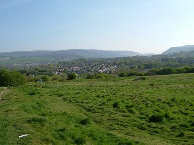
Ardotalia, Roman fort in High Peak, England
Ardotalia is a Roman fort positioned on a strategic hilltop in High Peak with characteristic military design showing square defensive towers and clearly defined entrances. The site follows the standard Roman fort layout plan, with the ground still showing the arrangement of barracks, storage buildings, and administrative structures.
The fort was established during Emperor Hadrian's reign to monitor a key route through the Pennines and was garrisoned by the Cohors Primae Frisiavonum, a unit of around 1000 soldiers. The site was occupied for several centuries before being abandoned as Roman control withdrew from the region.
The name comes from British Celtic language roots meaning high dark hill, a description that still reflects how locals understand this elevated location and its windswept character.
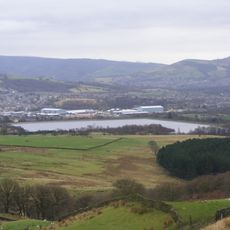
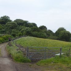
The site is largely open ground and can be explored on foot, with the surviving earthworks showing the original fort layout. Wear suitable footwear as the terrain is uneven and paths can become muddy in wet conditions.
The Doctor's Gate was a Roman road linking this fort directly to the neighboring fort of Navio, and the route later became known by a different name in later periods. The name itself derives from a local medieval doctor, showing how ancient structures were reinterpreted by later generations.
The community of curious travelers
AroundUs brings together thousands of curated places, local tips, and hidden gems, enriched daily by 60,000 contributors worldwide.