Brancepeth Castle, Medieval castle in County Durham, England
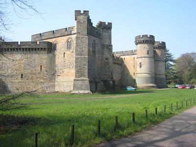
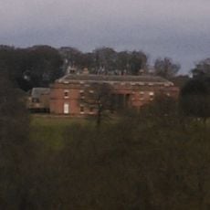
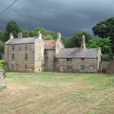
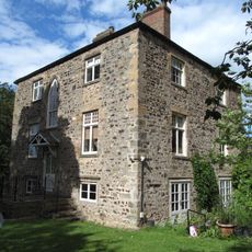
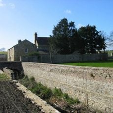
Brancepeth Castle is a medieval stone castle in Brancepeth, County Durham, England, sitting on raised ground and arranged around a central courtyard with towers at each corner and a prominent gatehouse. It is listed as a Grade I building, meaning it is considered of exceptional interest, and its stonework reflects building work from the medieval period through to the early 19th century.
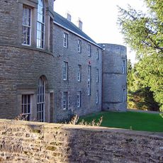
The castle traces its origins to the Norman period in the 11th century, when the Bulmer family first established a fortification on this site. In the early 19th century, the Russell family commissioned a major rebuilding in the Gothic style, which gave the castle much of the appearance it has today.
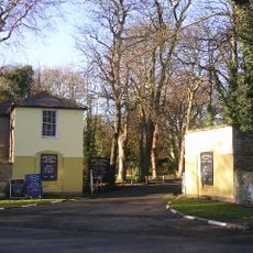
The castle served for centuries as the seat of powerful northern English noble families, and that sense of authority still comes through when you walk through the gate. The mix of defensive towers and domestic wings shows how the building shifted from a fortress to a family home over time.
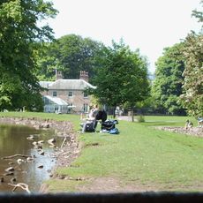
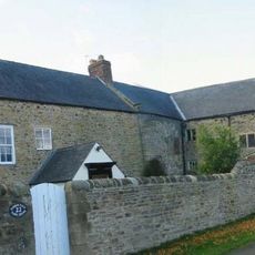
Brancepeth is a small village about 5 miles (8 km) southwest of Durham city, and the castle is easy to spot near the center of the village. The grounds have uneven grass and natural paths, so sturdy footwear is a good idea, especially after rain.
During the First World War, the castle was turned into a military hospital to treat wounded soldiers. After the war it became the headquarters of the Durham Light Infantry, one of the most recognized regiments of northern England.
The community of curious travelers
AroundUs brings together thousands of curated places, local tips, and hidden gems, enriched daily by 60,000 contributors worldwide.