Sunderland Bridge, Medieval road bridge in Brandon and Byshottles, England.
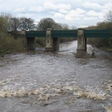
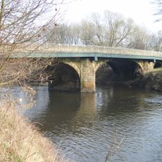
Sunderland Bridge is a medieval road bridge in Brandon and Byshottles, County Durham, carrying a road across the River Wear. It is built from sandstone and has four semicircular arches, and it holds both Grade I listed building status and scheduled monument designation.
The bridge dates to the 14th century, when it was built to carry traffic along a main northward route through the region. It was substantially rebuilt twice, in the 1770s and again in the 1820s, to cope with heavier use.
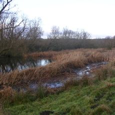
Sunderland Bridge takes its name from a now-vanished village that once stood near the riverbank. The sandstone arches are easy to see up close, and walking across gives a clear sense of how river crossings were built and used in medieval times.
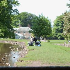
The bridge carries live road traffic, so pedestrians should take care when crossing on foot, though it also connects to a riverside walking route. Access from both banks is straightforward, and it works well as a stop along a longer walk through the area.
Despite two major rebuilds, parts of the original 14th-century stonework are still visible within the later structure. The bridge also sits exactly on the boundary between two parishes, a position that gave it a particular administrative role from early on.
The community of curious travelers
AroundUs brings together thousands of curated places, local tips, and hidden gems, enriched daily by 60,000 contributors worldwide.