Bournemouth Coast Path
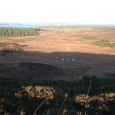
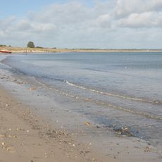
The Bournemouth Coast Path is a 60-kilometer coastal trail along the southern English coast stretching from Milford-on-Sea to North Haven Point. The route runs mostly along cliff tops, winds through woodlands, and passes around ravines carved by streams flowing toward the sea.
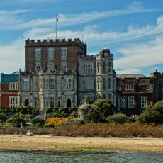
The path was created in 1985 by walking writer Leigh Hatts and links the Solent Way with the South West Coast Path. The coastal settlements here remained sparsely populated until the early 1800s, then grew rapidly after the railway arrived in 1870.
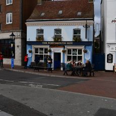
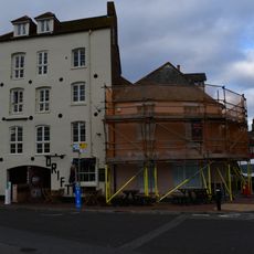
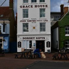
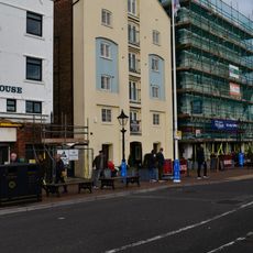
The trail passes through coastal communities with deep ties to the sea that visitors can sense in daily life. Local fishing practices and maritime traditions remain visible along the route, particularly in the harbors and smaller villages.
The trail can be walked in two long days or split into shorter sections, with lodging options nearby at various points. A detailed guidebook or Ordnance Survey map is helpful for navigation since the route lacks consistent waymarking throughout.
The trail was unmarked and not shown on regular maps for many years, requiring walkers to rely on Leigh Hatts' guidebook to navigate. The European hiking route E9 also passes through this stretch of coast, offering a more direct route along beachside promenades instead of cliff tops.
The community of curious travelers
AroundUs brings together thousands of curated places, local tips, and hidden gems, enriched daily by 60,000 contributors worldwide.