Bournville, Model village in Birmingham, England
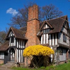
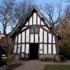
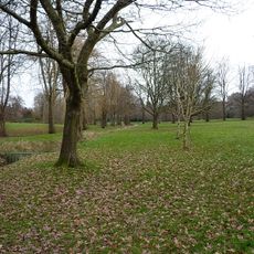
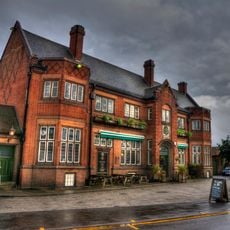
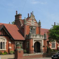
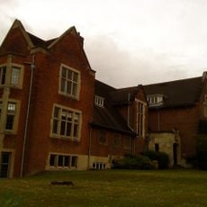
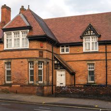
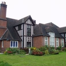
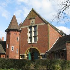
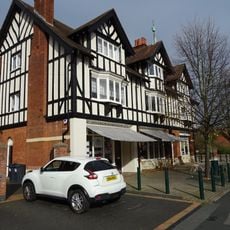
Bournville is a residential district in southwest Birmingham with Arts and Crafts style terrace houses, wide avenues and green spaces that extend between front gardens and public parks. The architecture shows red-brown brick, white window frames and gabled roofs, embedded in terrain with mature trees and curving streets named after deciduous trees.
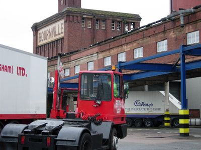
The Cadbury brothers moved their chocolate factory in 1879 and began building housing for workers on the adjoining land from the 1890s, guided by ideas of Victorian social reform. The architect Alexander Harvey designed the first houses, while George Cadbury transferred the estate to a trust in 1900 to secure future development and affordable rents.
Bournville Village Trust manages the estate and continues to ensure affordable rents for families living in the ochre-brick houses along streets bearing names like Linden Road and Sycamore Road. The dwellings are surrounded by front gardens where roses and hedges grow, while each house has a vegetable plot behind it where residents cultivate produce and fruit trees.
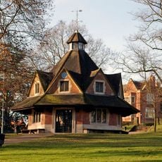
Visitors can walk through the public streets and view gardens and buildings from outside, focusing on green spaces and parks for longer exploration. Bournville station sits centrally in the district, and most areas are walkable, with flat paths easing access to the main streets.
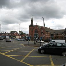
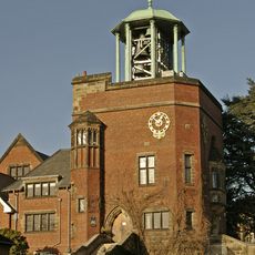
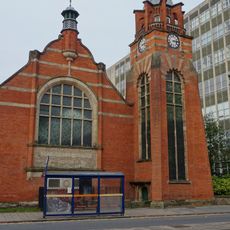
No pubs, bars or shops selling alcoholic drinks exist in the streets, reflecting the Quaker beliefs of the founders who viewed alcohol as a social harm. The restrictions remain today and have meant the district center developed around the chocolate factory and Carillon building instead of around taverns.
The community of curious travelers
AroundUs brings together thousands of curated places, local tips, and hidden gems, enriched daily by 60,000 contributors worldwide.