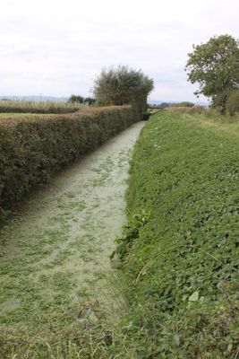
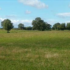
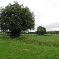
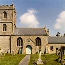
Bussex Rhine, Historical drainage waterway near Westonzoyland, England.
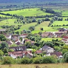
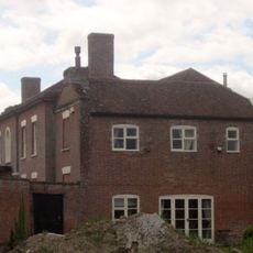
The Bussex Rhine is a wide drainage channel cutting through Somerset's wetlands and connecting with several neighboring waterways. This waterway was built and maintained over centuries to help manage water levels across the flat, marshy terrain.
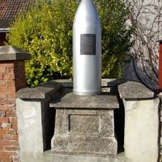
The channel was created as part of large-scale efforts to drain the Somerset Levels starting in medieval times and expanded over generations. In 1685, it became the site of a major battle when royal forces crushed a rebellion here.
This waterway is part of an ancient drainage system that farmers have relied on for centuries to manage their wetland fields. Such channels shaped the landscape and show how people here learned to work with water and marshland together.
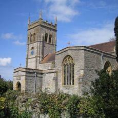
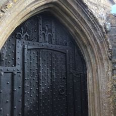
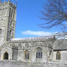
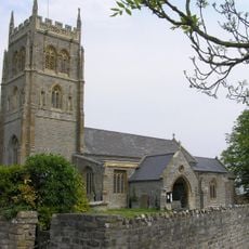
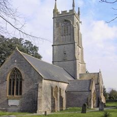
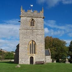
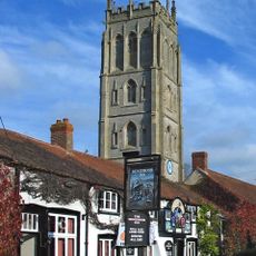
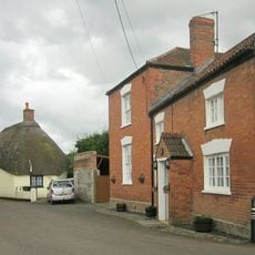
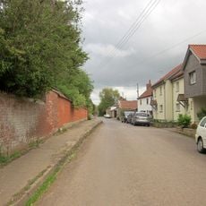
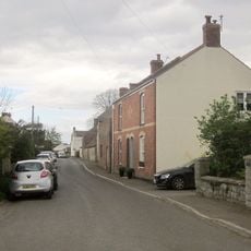
The best way to explore the channel is on foot using rural paths and field tracks that connect Westonzoyland to the surrounding moors. Parking is available near the village church, from where you can easily walk to reach the waterway.
The waterway reveals how water management here is a never-ending balancing act that shifts with the seasons. If you look closely, you notice that controlling flood and drought has been a constant concern for local people over many centuries.
The community of curious travelers
AroundUs brings together thousands of curated places, local tips, and hidden gems, enriched daily by 60,000 contributors worldwide.