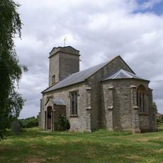
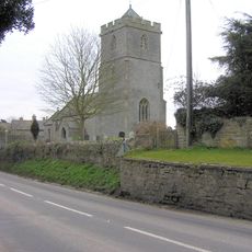
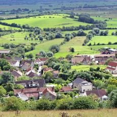
Greylake, Geological site and natural reserve in Somerset, United Kingdom
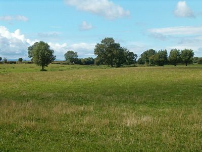
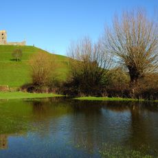
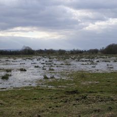
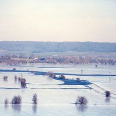
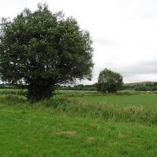
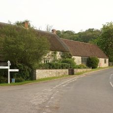
Greylake is a protected geological site in the Somerset Levels that spans flat fields with a mix of low-lying terrain and walking areas. The site displays layers of different sediments and deposits that reveal how the land formed and changed over thousands of years.
The site was designated as a protected area of special scientific interest in 1987 due to its important geological layers from the ice age. This recognition highlights its value for understanding the ancient history of the land.
Scientists and researchers regularly visit Greylake to study its geological formations, including fluvial gravels, marine intertidal silts, and marine subtidal deposits.
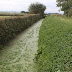
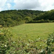
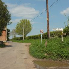
The site offers two walking trails for visitors with different levels of ease, one with level surfaces and another across grassland. Visitors should wear waterproof shoes since the ground can be damp, especially in wetter seasons.
The site preserves remains of ancient animals like red deer and aurochs buried in its sediment layers. These fossils provide clues about the creatures that roamed this area thousands of years ago.
Location: Somerset
GPS coordinates: 51.09838,-2.88109
Latest update: December 14, 2025 14:43
Burrow Mump
3.9 km
Bussex Rhine
3.4 km
Westonzoyland Pumping Station Museum
4.5 km
King's Sedgemoor
1.7 km
Aller and Beer Woods
3.7 km
Southlake Moor
3.9 km
Church of St Mary the Virgin, Westonzoyland
3.4 km
St Andrew's Church
4.8 km
Church of the Holy Cross, Middlezoy
1.1 km
Church of St Michael, Othery
2 km
Sutton Mallet Church
3.5 km
Church of St Michael & All Angels, Greinton
4 km
Moorlinch SSSI
2.5 km
Church of St Mary, Moorlinch
3.6 km
Langmead and Weston Level
3.2 km
Church of St Michael
4.1 km
Sedgemoor Inn
3.5 km
King Alfred Public House
4.1 km
Portion Of East Boundary Wall To Ham Court, 15 Metres South Of Church Of Saint Andrew
4.9 km
Westonzoyland War Memorial
3.5 km
Burrow Bridge At Ngr St 3075 3043
4.1 km
Remains of Church on Burrow Mump
4 km
Manor Farmhouse
4.2 km
Windsor Farmhouse And Attached Outbuildings
4.5 km
Stathe Farmhouse
4.6 km
Milepost On Roadside At Ngr St 4077 3617
3.5 km
Remains Of Former Cross In Grounds Of Church Hall
3.6 km
Milestone, SW of village, E end of Loxley Wood
4.6 kmVisited this place? Tap the stars to rate it and share your experience / photos with the community! Try now! You can cancel it anytime.
Discover hidden gems everywhere you go!
From secret cafés to breathtaking viewpoints, skip the crowded tourist spots and find places that match your style. Our app makes it easy with voice search, smart filtering, route optimization, and insider tips from travelers worldwide. Download now for the complete mobile experience.
A unique approach to discovering new places❞
— Le Figaro
All the places worth exploring❞
— France Info
A tailor-made excursion in just a few clicks❞
— 20 Minutes