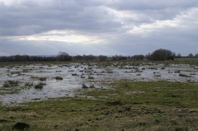
King's Sedgemoor, Protected peatland in Somerset, United Kingdom
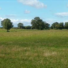
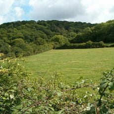
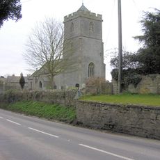
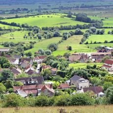
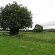
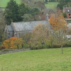
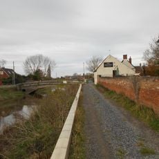
King's Sedgemoor is a peatland bog in Somerset featuring extensive wetlands, waterways, and diverse plant life. The site forms part of the Somerset Levels landscape with multiple habitats supporting specialized species adapted to wet conditions.
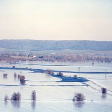
The site underwent drainage modifications from the 17th century onward to control water levels for farming. These early interventions established the waterway patterns and land management approach visible today.
Local farmers maintain traditional land management practices in King's Sedgemoor, continuing centuries-old methods of sustainable peat extraction and grazing.
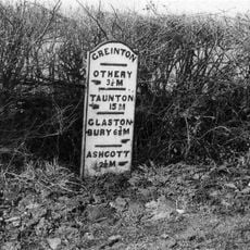
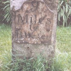
The site is accessible via marked walking paths, with the best wildlife viewing during spring and autumn months. Sturdy footwear is recommended as trails pass through wet areas and conditions change with the weather.
The peat layers contain preserved plant remains that give scientists insight into climate changes spanning thousands of years. These buried organic materials tell a natural story reaching far back into deep time.
GPS coordinates: 51.09320,-2.85815
Latest update: December 13, 2025 11:43
Burrow Mump
4.8 km
Low Ham Roman Villa
5 km
Stembridge Mill, High Ham
3.2 km
Greylake
1.7 km
Aller and Beer Woods
2.5 km
Southlake Moor
4.2 km
St Andrew's Church
3.2 km
Church of the Holy Cross, Middlezoy
2.5 km
Church of Saint Andrew
4.2 km
Church without dedication, High Ham
5.1 km
Church of St Michael, Othery
2.2 km
Sutton Mallet Church
4.8 km
Church of St Michael & All Angels, Greinton
3.6 km
Moorlinch SSSI
3.2 km
Church of St Mary, Moorlinch
3.9 km
Langmead and Weston Level
4.7 km
Church of St Michael
4.9 km
King Alfred Public House
4.9 km
Portion Of East Boundary Wall To Ham Court, 15 Metres South Of Church Of Saint Andrew
3.2 km
Burrow Bridge At Ngr St 3075 3043
5 km
Laburnum House
3.3 km
Remains of Church on Burrow Mump
4.8 km
Windsor Farmhouse And Attached Outbuildings
2.8 km
Stathe Farmhouse
4.6 km
Milepost On Roadside At Ngr St 4077 3617
3.3 km
Remains Of Former Cross In Grounds Of Church Hall
3.9 km
Milestone, SW of village, E end of Loxley Wood
4.4 km
Milestone, W end of Ashcott village
4.9 kmVisited this place? Tap the stars to rate it and share your experience / photos with the community! Try now! You can cancel it anytime.
Discover hidden gems everywhere you go!
From secret cafés to breathtaking viewpoints, skip the crowded tourist spots and find places that match your style. Our app makes it easy with voice search, smart filtering, route optimization, and insider tips from travelers worldwide. Download now for the complete mobile experience.
A unique approach to discovering new places❞
— Le Figaro
All the places worth exploring❞
— France Info
A tailor-made excursion in just a few clicks❞
— 20 Minutes