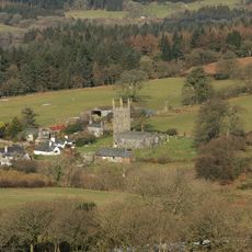
Burrator Reservoir, reservoir in Devon, England
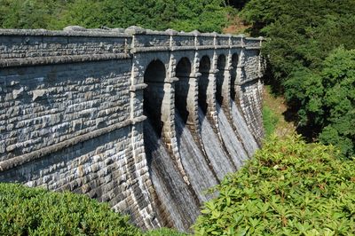
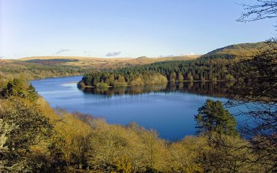
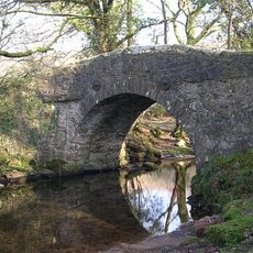
Burrator Reservoir is a man-made lake on the southern edge of Dartmoor in Devon, England, formed by a granite dam built to hold back a river flowing through a forested valley. The water is surrounded by conifer woodland and open moorland, with the dam and a secondary embankment visible from the road that circles the lake.
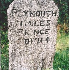
The reservoir was created in the 1890s to provide drinking water to Plymouth, which was growing rapidly and struggling with its water supply. The dam was raised in the 1920s to increase capacity as demand continued to grow.
Burrator is a popular spot for families and dog walkers from the Plymouth area, especially on weekends. The loop road around the water is a well-known local route for cyclists and runners who use it regularly throughout the year.
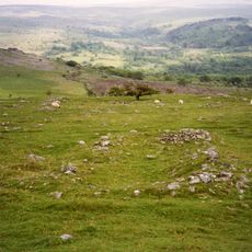
A path circles the entire reservoir and is manageable for most visitors, though some sections can get muddy after rain. Sturdy footwear is a good idea, as the weather on the edge of Dartmoor can shift quickly even on mild days.
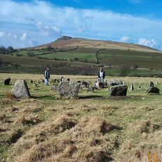
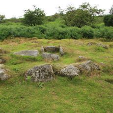
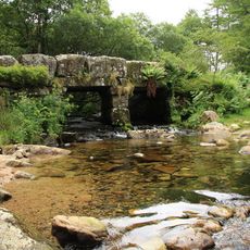
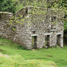
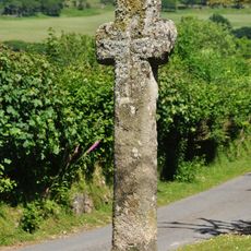
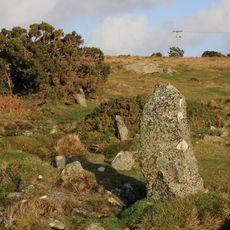
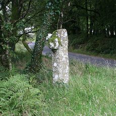
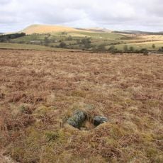
When water levels drop significantly during dry periods, the remains of a medieval settlement that was flooded when the valley was first dammed can sometimes be seen near the shoreline. Old stone walls and trackways briefly reappear before the water rises again.
The community of curious travelers
AroundUs brings together thousands of curated places, local tips, and hidden gems, enriched daily by 60,000 contributors worldwide.