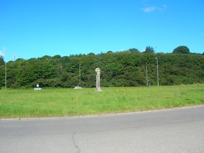
Carminow Cross, Medieval stone cross in Bodmin, England
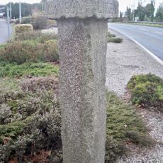
Carminow Cross is a medieval stone cross in Bodmin that stands approximately 3.65 meters (12 feet) tall with a distinctive wheel-head design featuring four triangular openings. The granite structure displays decorative patterns and rests on a modern double-stepped base, with the upper original section preserved from medieval times.
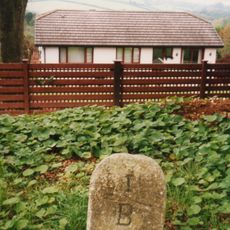
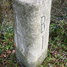
The monument was first documented in 1613 as Carmynowe's Crosse and marked the boundary between the parishes of Bodmin, Lanhydrock, and Cardinham. In 1894 it underwent relocation and restoration, receiving a new shaft and the double-stepped granite base that remains today.
The cross displays medieval craftsmanship through its wheel-head design with raised bead decorations, which reflects the artistic care that stonemasons invested in such wayside monuments. People passing through this area would have recognized it as a marker of local significance and community identity.
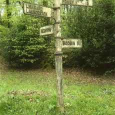
The cross stands at the junction where slip roads connect the A30T and A38T trunk roads near Bodmin, making it accessible from the main road network. It sits at ground level and is easily visible from the surrounding roads when traveling through the area.
The monument was relocated from its original position in 1894, with the medieval upper section carefully preserved while the shaft and base were renewed. This blend of original and restored elements reflects the Victorian approach to conserving medieval monuments.
The community of curious travelers
AroundUs brings together thousands of curated places, local tips, and hidden gems, enriched daily by 60,000 contributors worldwide.