Bodmin, Civil parish and town in Cornwall, England
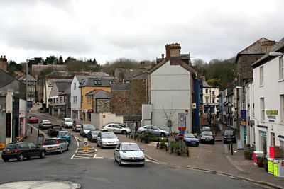
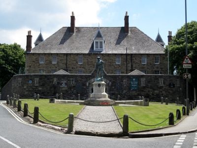
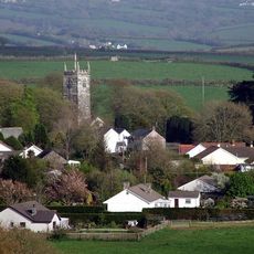
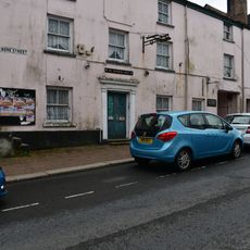
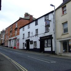
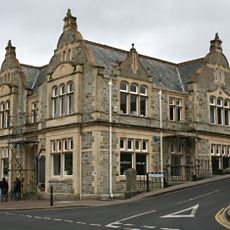
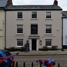
Bodmin is a market town in Cornwall situated between Bodmin Moor and the River Camel valley. The settlement features granite buildings and serves as the administrative center for the area with convenient connections to both coastal and inland locations.
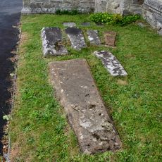
A monk named Petroc established a monastic community here in the 6th century, making Bodmin one of the few major settlements recorded in the Domesday Book of 1086. This early religious foundation laid the groundwork for the town's importance in subsequent centuries.
Saint Petroc's Church dominates the town center with its large 15th-century structure and remains a focal point for understanding local religious heritage. The church reflects how important monastic traditions shaped this community from its earliest days.
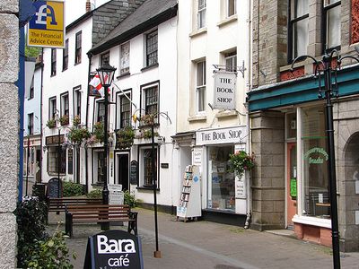
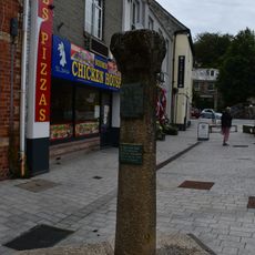
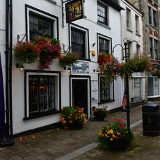
The town center is walkable and well-organized for exploring on foot, with shops and services clustered around the main streets. The railway station provides easy access to travel onward to other parts of Cornwall and beyond.
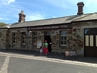
The town is home to a working steam railway that offers rides through the surrounding countryside. This heritage railway is unique in Cornwall and draws train enthusiasts and visitors interested in transport history.
Location: Cornwall
Website: https://bodmin.gov.uk
GPS coordinates: 50.46600,-4.71800
Latest update: December 12, 2025 04:52
Photo license: CC BY 2.0
Bodmin Jail
1.2 km
Bodmin Jail
1.2 km
Bodmin and Wenford Railway
83 m
St Petroc's Parish Church
607 m
Hospital of St Lawrence, Bodmin
1.4 km
Triggshire
561 m
Shire Hall
493 m
Carminow Cross
1.8 km
Honey Street drill hall, Bodmin
614 m
Bodmin Keep - Cornwall's Army Museum
227 m
The White Hart Inn
719 m
Church of St Lawrence
1.2 km
Barley Sheaf Public House And Attached Mounting Block
742 m
Six Coffin Stones Immediately To South Of Church Of St Petroc
595 m
The George And Dragon Inn
426 m
Methodist Chapel
684 m
Gilbert's Monument
440 m
The Courtroom Experience
491 m
Old Library
765 m
4 and 5, Church Square
622 m
Monument Immediately South East Of No 19 Honey Street
581 m
Bodmin Town Museum
517 m
The Weavers Public House
576 m
Medieval wayside cross at Castle Hill, 740m north east of Bodmin parish church
1.3 km
4, Dennison Road
637 m
Duke of Cornwall's Light Infantry War Memorial
196 m
4, Mount Folly Square
529 m
Guide Post At Junction Of Priory Road And Launceston Road
551 mVisited this place? Tap the stars to rate it and share your experience / photos with the community! Try now! You can cancel it anytime.
Discover hidden gems everywhere you go!
From secret cafés to breathtaking viewpoints, skip the crowded tourist spots and find places that match your style. Our app makes it easy with voice search, smart filtering, route optimization, and insider tips from travelers worldwide. Download now for the complete mobile experience.
A unique approach to discovering new places❞
— Le Figaro
All the places worth exploring❞
— France Info
A tailor-made excursion in just a few clicks❞
— 20 Minutes