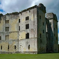
Castle Ditches, Iron Age hillfort in Tisbury, England
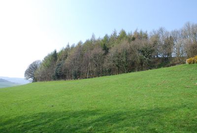
Castle Ditches is an Iron Age hillfort near Tisbury featuring three concentric rings of ramparts and ditches arranged in a triangular defensive layout. The earthworks cover a large hilltop and reveal the sophisticated construction methods used to protect the settlement.
The fortification was built during the Iron Age as a military installation and appears in a charter from 984 AD, showing the site remained significant long after its original construction. References in early documents suggest the location held importance across many centuries.
The strategic placement of Castle Ditches at 193 meters above sea level reflects the military knowledge and organizational capabilities of Iron Age communities.
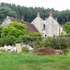
The site is privately owned but visitors can view the archaeological remains from public footpaths that circle the ancient fortification. Comfortable shoes are recommended since the paths cross uneven ground and the hilltop can be steep.
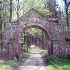
The eastern entrance displays particularly complex defensive earthworks that rise distinctly above the surrounding terrain. This elaborate construction at a single point suggests where the fortification's builders concentrated their defensive planning.
Location: Tisbury
GPS coordinates: 51.05468,-2.05328
Latest update: December 14, 2025 16:43
Old Wardour Castle
3.2 km
New Wardour Castle
3.9 km
Place Farmhouse
1.9 km
Church of St Michael and All Angels, Teffont Evias
4 km
Church of St John the Baptist, Tisbury
2.1 km
Church of St George
3.5 km
Church of All Saints
2.3 km
Church of St Peter
1.3 km
Church of St James
2.2 km
Zion Hill Chapel
2.1 km
The Royal Oak
1.3 km
The Crown Inn
2.2 km
Tithe Barn at Place Farm
1.9 km
Turner And Two Rogers Monuments, In The Churchyard, Between 10 And 13 Metres North West Of Church Of St John The Baptist
2.1 km
Wardour Castle Chapel
3.9 km
Grotto To North East Of Old Wardour Castle
3.1 km
Guidepost Opposite Hazeldon Old Manor
3 km
Tisbury Library
2.2 km
Gate Piers, Gate, Attached Walling And Bridge At Church Of St Michael And All Angels
3.9 km
Banqueting House At Old Wardour Park
3.3 km
Milestone Approximately 200 Metres East Of Manor Farm
2.5 km
Archway On Trackway To South West Of Old Wardour
3.8 km
Churchyard Sundial About 10 Metres South Of Chancel Of Church Of All Saints
2.3 km
Outer Gatehouse At Place Farm
1.9 km
Milestone About 250 Metres To South West Of New Barn Lodge
3.1 km
Old Wardour House
3.3 km
Two chalk military badges 380m and 550m west of Sheep Well
2.4 km
Milestone, 110m W of eastermost lane to village
1.7 kmVisited this place? Tap the stars to rate it and share your experience / photos with the community! Try now! You can cancel it anytime.
Discover hidden gems everywhere you go!
From secret cafés to breathtaking viewpoints, skip the crowded tourist spots and find places that match your style. Our app makes it easy with voice search, smart filtering, route optimization, and insider tips from travelers worldwide. Download now for the complete mobile experience.
A unique approach to discovering new places❞
— Le Figaro
All the places worth exploring❞
— France Info
A tailor-made excursion in just a few clicks❞
— 20 Minutes