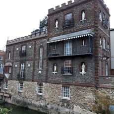
Castle Mill Stream, Historical leat and backwater in Oxford, England
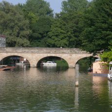
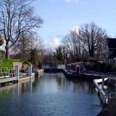
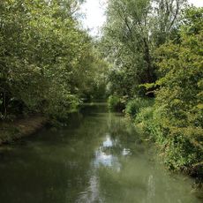
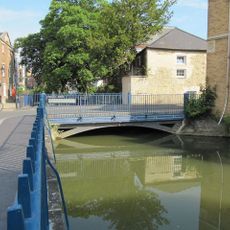
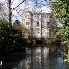
Castle Mill Stream is an artificial waterway and backwater in western Oxford that flows through meadows and passes under numerous bridges throughout the city. The channel connects multiple areas and forms a continuous water route through different districts.
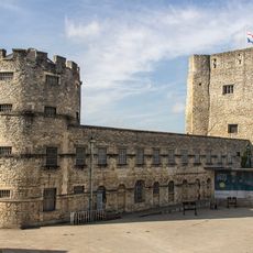
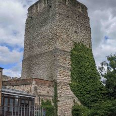
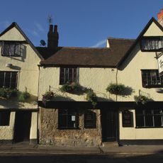
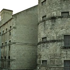
The waterway was originally engineered as a mill stream to support local industry and has deep connections to Oxford's medieval fortifications. Over centuries, the channel was modified and adapted to serve the city's changing needs.
The waterway is embedded in the city's recreation network, offering residents and visitors a way to move through Oxford along quieter routes away from traffic. Locals use these paths regularly for walking and cycling.
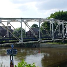
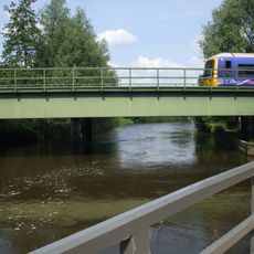
Access is easiest at the meadow edges and bridge areas where paths begin and run alongside the water. Wearing appropriate footwear is helpful since the paths can vary in condition depending on weather and season.
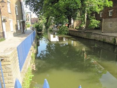
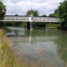
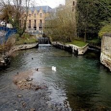
At one location the waterway splits into two separate channels that flow through different neighborhoods of the city. This division resulted from early planning decisions and still shapes how water moves through this part of Oxford today.
The community of curious travelers
AroundUs brings together thousands of curated places, local tips, and hidden gems, enriched daily by 60,000 contributors worldwide.