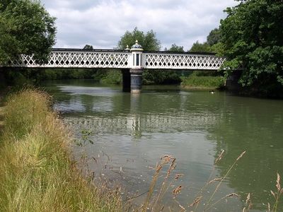
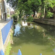
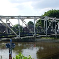
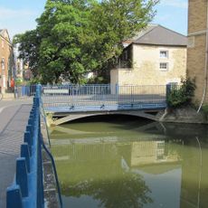
Gasworks Bridge, Iron footbridge across River Thames in Oxford, England.
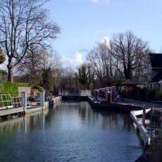
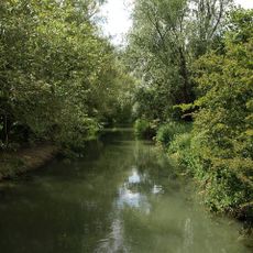
The Gasworks Bridge is an iron footbridge that spans the River Thames between Iffley Lock and Osney Lock, connecting St Ebbes with the Grandpont nature reserve. The structure consists of metal framework and allows pedestrians to cross the river at this location.
The bridge was built in 1886 by the Oxford & District Gas Company to support a railway line that carried coal from the Cherwell Valley. Its transformation from industrial railway infrastructure to a pedestrian-only crossing reflects the shifting needs of the city over time.
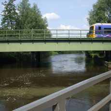
The bridge takes its name from its original industrial purpose and shows how Oxford residents use and reshape their city today. The connection between different neighborhoods has become an important route in people's daily lives and movement through town.
The crossing is a walking route that requires care during high water or wet weather, as the metal structure can become slippery. Visitors should check the condition of the structure and be aware of alternative nearby routes if needed.
The bridge sections were assembled on the south bank of the Thames and then floated into position, demonstrating how Victorian engineers solved the challenge of spanning rivers without modern equipment. This construction method was an innovative approach to building across water.
The community of curious travelers
AroundUs brings together thousands of curated places, local tips, and hidden gems, enriched daily by 60,000 contributors worldwide.