Chelsea Park, Public park in Nether Edge, Sheffield, England.
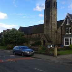
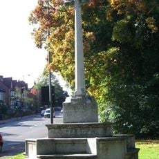
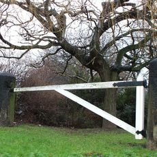
Chelsea Park is a public park in the Nether Edge residential area offering green spaces, landscaped zones, and walking paths throughout its grounds. The site features multiple areas for recreation and relaxation across different sections.
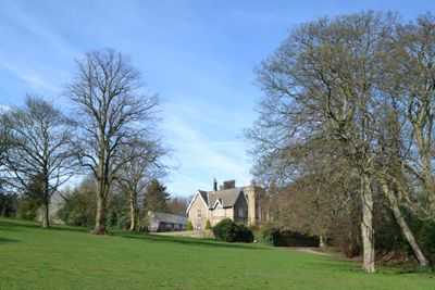
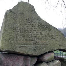
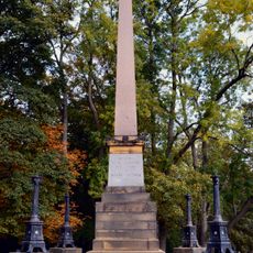
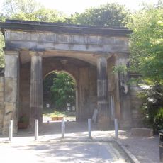
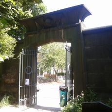
The park began in 1852 as private gardens for Brincliffe Towers estate before Dr Robert Styring, a former Lord Mayor, gave it to Sheffield residents in 1925. This donation opened the land to the public permanently.
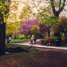
The park serves as a gathering place where neighbors meet for walks, sports, and rest throughout the week. Local residents use the open spaces for informal activities and time outdoors.
The park is accessible on foot and equipped with modern facilities including a playground from 2005, basketball courts, and covered spaces. Visitors will find different zones offer different activities, so exploring the full area is worthwhile.
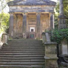
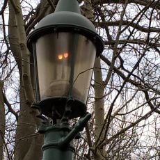
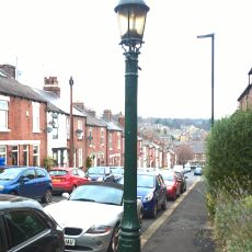
The park retains the original Victorian garden layout from Brincliffe Towers despite later additions of modern facilities. This blend of old and new design elements shows how Sheffield evolved over time.
Location: Nether Edge & Sharrow
GPS coordinates: 53.35850,-1.50100
Latest update: December 14, 2025 11:24
Endcliffe Park
1.2 km
Abbeydale Picture House
1.4 km
Mylnhurst
926 m
All Saints Church, Ecclesall
755 m
Banner Cross Hall
528 m
Sharrow Mills
1.2 km
Wilson Road Synagogue
1.2 km
Banner Cross Methodist Church
545 m
Statue of Queen Victoria
1 km
Church of St Oswald
1.1 km
Monument To Mark Firth 60 Metres East Of New Chapel At General Cemetery
1.5 km
Church of Holy Trinity
1.3 km
Jubilee Monument And Railing In Centre Of Endcliffe Park
1.1 km
Old Chapel at General Cemetery
1.4 km
Ecclesall War Memorial
781 m
James Nicholson Memorial In General Cemetery
1.5 km
Monument To William Parker 40 Metres South West Of Old Chapel At General Cemetery
1.4 km
Bear Pit Near South Side Of Botanical Gardens
1.5 km
Pavilion And Lodge At East Entrance To Park
1 km
Jubilee Obelisk At South West End Of Park
1.2 km
Hunters Bar Toll Gate
1 km
Sewer Gas Lamp at Junction with Frog Walk
1.3 km
Sewer Gas Lamp Opposite Junction With Union Road
418 m
Sewer Gas Destructor Lamp
885 m
Caretakers House At Carter Knowle Junior School
883 m
Main Gateway And Lodges To General Cemetery
1.4 km
Gateway To General Cemetery With Screen And Flanking Walls
1.4 km
Milestone, Ringinglow Road, outside No. 153
1.3 kmVisited this place? Tap the stars to rate it and share your experience / photos with the community! Try now! You can cancel it anytime.
Discover hidden gems everywhere you go!
From secret cafés to breathtaking viewpoints, skip the crowded tourist spots and find places that match your style. Our app makes it easy with voice search, smart filtering, route optimization, and insider tips from travelers worldwide. Download now for the complete mobile experience.
A unique approach to discovering new places❞
— Le Figaro
All the places worth exploring❞
— France Info
A tailor-made excursion in just a few clicks❞
— 20 Minutes