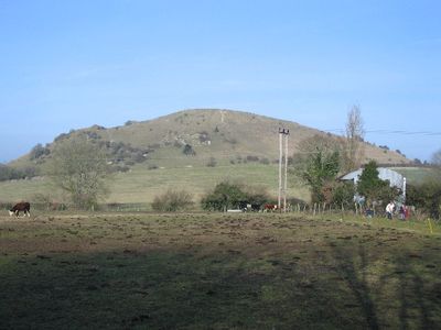
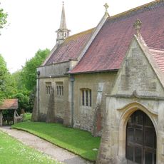
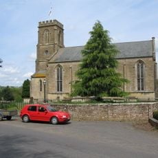
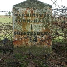
Cley Hill, Iron Age hillfort in Corsley, England.
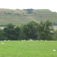
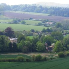
Cley Hill is a chalk hill near Corsley in Wiltshire, England, designated as a Site of Special Scientific Interest and topped by an Iron Age hillfort. The hill is made up of open grassland, short turf, and flower-rich slopes that together form a range of habitats for plants and insects.
The hill was used as a burial site in the Bronze Age, when burial mounds were raised across its surface. Later, in the Iron Age, defensive ramparts were added, and medieval farmers cut terraces into the southern slopes for growing crops.
A local legend says the devil dropped a sack of earth here while trying to bury the town of Devizes. This story is still passed around in the region and gives the hill a particular presence in the minds of people who grew up nearby.
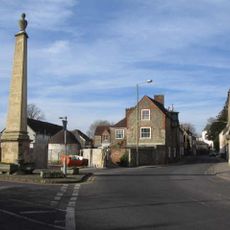
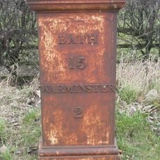
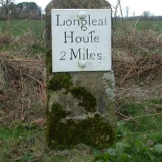
The hill is managed by the National Trust and is freely accessible, with parking available near the A36. The walk to the top takes around ten minutes and follows a clear path, though the ground gets steeper closer to the summit.
The Adonis blue butterfly lives here, and it can only survive where horseshoe vetch grows, a plant that needs very short chalk grassland to thrive. This makes the hill one of the few places in England where the right conditions for this butterfly still exist.
The community of curious travelers
AroundUs brings together thousands of curated places, local tips, and hidden gems, enriched daily by 60,000 contributors worldwide.