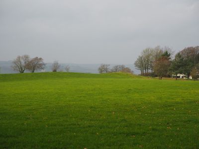
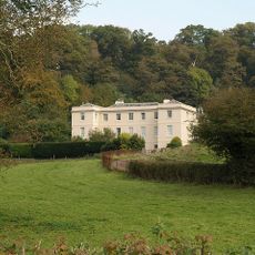
Cranmore Castle, Iron Age archaeological site in Tiverton, England.
Cranmore Castle is an archaeological site on Skrink Hills with earthwork fortifications that spread across a large area overlooking where the Lowman and Exe rivers meet. The defenses consist of multiple concentric earthen banks that form an early protection system.
The site originates from the Iron Age and later became strategically important during the English Civil War when Parliamentarian forces under Thomas Fairfax besieged it in 1645. This military episode marked a significant turning point in the later history of the place.
The site shows traces of early settlement and defensive building methods that reflect how medieval communities in the region organized their defenses. The remaining earthworks reveal the way people lived and protected their territories here.
The site sits beside the old Exeter Road and is easy to reach, but offers limited visitor facilities since it is an exposed archaeological ground. Visitors should wear sturdy footwear because the terrain is uneven and can become slippery in wet conditions.
Recent research suggests the site may have served as a winter shelter for livestock herds or a market place rather than a traditional fortress. This theory shows that early fortifications sometimes had civilian purposes that we often overlook today.
The community of curious travelers
AroundUs brings together thousands of curated places, local tips, and hidden gems, enriched daily by 60,000 contributors worldwide.