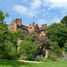
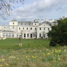
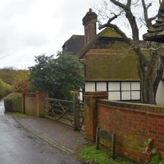
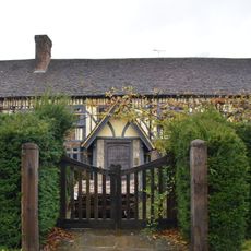
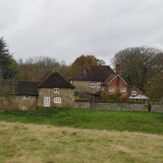
Emmetts Garden, Edwardian garden in Ide Hill, England
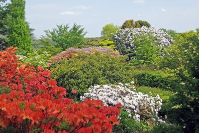
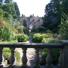
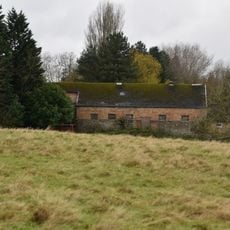
Emmetts Garden is an Edwardian-era garden in Ide Hill covering six acres with many stepped terraces descending the slopes. The terraced levels display diverse plant collections, and from higher points the view stretches across the Weald of Kent.
Frederick Lubbock bought the property in 1890 and developed the gardens between 1893 and 1895 following William Robinson's landscaping approach. The design from that period remains the foundation of the garden's structure today.
The garden's name comes from the local word for ants, a reference to the large anthills that covered the land until the 1950s. Visitors walking through can still sense this connection to the site's natural past as they explore the terraced slopes.
The National Trust manages the garden and provides visitor facilities and seasonal events throughout the year. Since the site is built on steep slopes, comfortable walking shoes are important and some areas may be harder to reach.
A towering giant sequoia dominates the grounds and managed to survive the severe storm of 1987 that damaged many original plantings. This ancient tree stands as one of the garden's most striking features today.
Location: Ide Hill
Website: https://nationaltrust.org.uk/emmetts-garden
GPS coordinates: 51.25150,0.11930
Latest update: December 10, 2025 20:09
Chartwell
2.7 km
Quebec House
3.5 km
Great Comp Garden
0 m
Stubbs Wood Country Park
2.1 km
Dryhill Nature Reserve
3.4 km
Scord's Wood and Brockhoult Mount
641 m
Church of St Mary
2.6 km
Church of St Mary at South End of Village Green
929 m
Church of St Martin
3.3 km
The Cock Inn
842 m
18-22, Church Road
3 km
Combe Bank
3.4 km
The Old Hall
2.9 km
Westerham War Memorial
3.6 km
Kent Cottage Premises Occupied By Kw Baker Premises Occupied By L Muir Premises Occupied By Mary And Patrick Antiques Premises Occupied By Pj Donoghue
2.9 km
Brook Place Farmhouse
1.2 km
Former Stables And Coach House And Linking Wall And Mounting Block To The South West Of Foxwold
1.9 km
Little Norman Street Farmhouse
849 m
The White House
2.8 km
Outbuilding To North East Of Dryhill Farmhouse
3 km
Small Barn To South East Of Dryhill Farmhouse
3 km
Dryhill Farmhouse
3 km
Sundridge Place
2.5 km
Pump In Middle Of Village Green
2.9 km
Combe Bank Lodge
2.9 km
Large Barn To South East Of Sundridge Place With Outbuildings Adjoining
2.5 km
Milestone, Main Road, by No. 134, "Milestone", W of Social Club
3 km
Milestone, Westerham Road, by Heverswood Lodge, W edge of village
2.9 kmVisited this place? Tap the stars to rate it and share your experience / photos with the community! Try now! You can cancel it anytime.
Discover hidden gems everywhere you go!
From secret cafés to breathtaking viewpoints, skip the crowded tourist spots and find places that match your style. Our app makes it easy with voice search, smart filtering, route optimization, and insider tips from travelers worldwide. Download now for the complete mobile experience.
A unique approach to discovering new places❞
— Le Figaro
All the places worth exploring❞
— France Info
A tailor-made excursion in just a few clicks❞
— 20 Minutes