Stubbs Wood Country Park, Public woodland park in Sevenoaks, Kent, England.
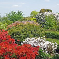
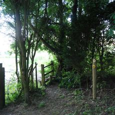
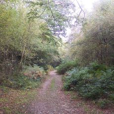
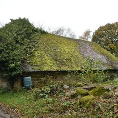
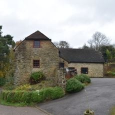
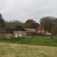
Stubbs Wood Country Park is a wooded area covering over 250 acres with numerous trails through dense stands of oak, birch, and sweet chestnut trees. The paths wind through the landscape and offer various routes suitable for different types of visitors.
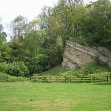
The woodland was originally part of Whitley Forest, known around 1769. A location called Hanging Bank marks where rebels suffered defeat during an uprising in the 16th century.
Lady Amherst's Drive runs through the woods and follows an old route that once connected two nearby settlements. The path's name recalls Sarah Amherst and shows how local history remains visible in the park's trails.
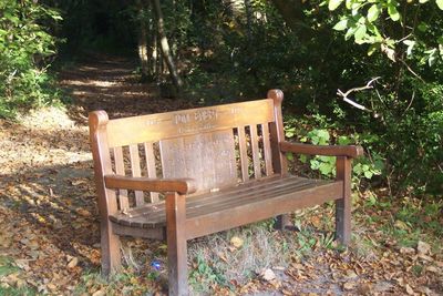
The park is accessible daily from dawn until dusk with parking available nearby. Multiple routes exist for walkers and riders, so choose footwear suited to your planned activities.
A major storm in 1987 damaged many trees, but local groups funded replanting efforts. Today, surviving ancient oaks and beeches stand as witnesses to this recovery and show the forest's resilience.
GPS coordinates: 51.24160,0.14480
Latest update: December 14, 2025 18:20
Long Barn
2.9 km
Emmetts Garden
2.1 km
Great Comp Garden
2.1 km
Dryhill Nature Reserve
3.8 km
Hubbard's Hill
3.6 km
Scord's Wood and Brockhoult Mount
2.4 km
Church of St Mary
3.8 km
Church of St Mary
4 km
Church of St Paul
4.2 km
Church of St George
3.1 km
Church of St Mary at South End of Village Green
1.2 km
Wickhurst Manor
1.9 km
The Cock Inn
1.3 km
18-22, Church Road
4.2 km
Churchill Court Including Terrace Walls
4 km
The White Hart Public House
4 km
The Four Elms Public House
4.3 km
Brook Place Farmhouse
1.7 km
Former Stables And Coach House And Linking Wall And Mounting Block To The South West Of Foxwold
4 km
Little Norman Street Farmhouse
1.9 km
Kippington House Old Folks' Home And Coach Building To North West
3.9 km
Small Barn To South East Of Dryhill Farmhouse
3.5 km
Outbuilding To North East Of Dryhill Farmhouse
3.6 km
Dryhill Farmhouse
3.6 km
Sundridge Place
3.7 km
West Heath School
3.2 km
Large Barn To South East Of Sundridge Place With Outbuildings Adjoining
3.7 km
Milestone, Tonbridge Road, opp. Park Cottage, S of jct with Letterbox Lane
4 kmVisited this place? Tap the stars to rate it and share your experience / photos with the community! Try now! You can cancel it anytime.
Discover hidden gems everywhere you go!
From secret cafés to breathtaking viewpoints, skip the crowded tourist spots and find places that match your style. Our app makes it easy with voice search, smart filtering, route optimization, and insider tips from travelers worldwide. Download now for the complete mobile experience.
A unique approach to discovering new places❞
— Le Figaro
All the places worth exploring❞
— France Info
A tailor-made excursion in just a few clicks❞
— 20 Minutes