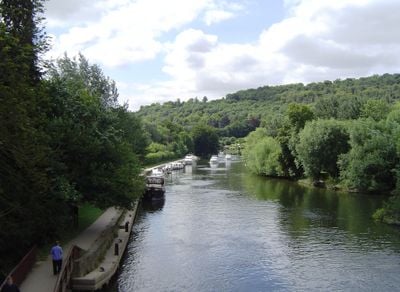
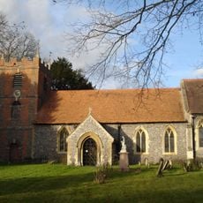
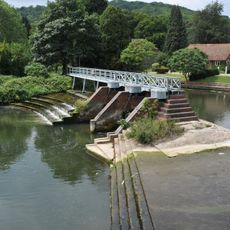
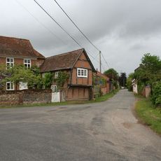
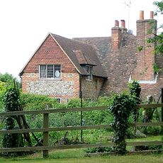
Goring Gap, River valley between Chiltern Hills and Berkshire Downs, England.
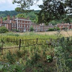
The Goring Gap is a natural valley where the River Thames cuts through chalk hills, creating an opening between the surrounding elevated landscapes. The passage is used by major transportation routes including a highway and railway line that follow this natural corridor.
The valley formed through the River Thames cutting through chalk hills over millions of years of erosion. The waterway maintained its course through this gap as the surrounding landscape developed around it.
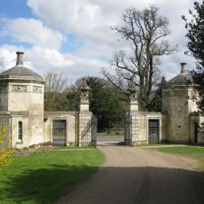
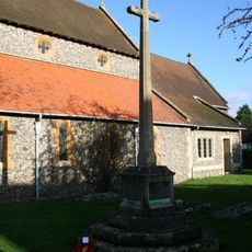
The crossing of ancient trade routes like the Ridgeway and Icknield Way made this passage a natural meeting place for merchants and travelers over centuries. The site remained a key junction where different regions connected through commerce and movement.
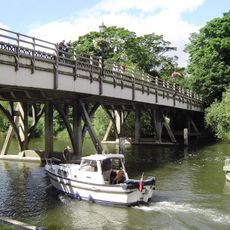
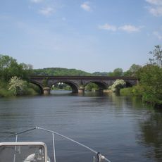
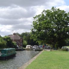
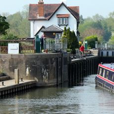
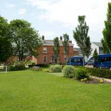
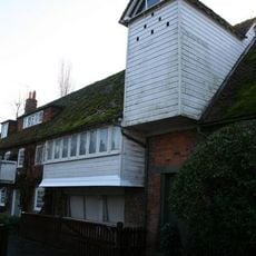
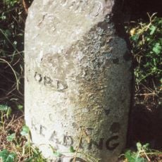
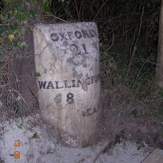
The location is well-connected with multiple transportation options passing through the area. Visitors can explore on foot using the riverbank paths or access the broader valley from surrounding communities.
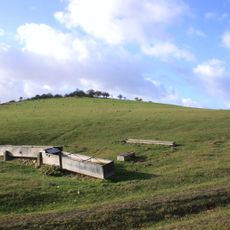
The gap sits at the boundary where two protected landscapes meet, making it a rare location within both conservation areas simultaneously. This unusual position creates a special place where different regional designations overlap.
The community of curious travelers
AroundUs brings together thousands of curated places, local tips, and hidden gems, enriched daily by 60,000 contributors worldwide.