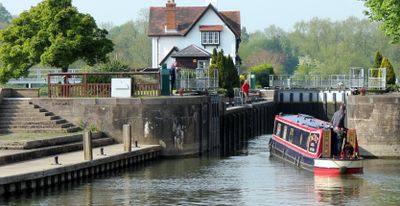
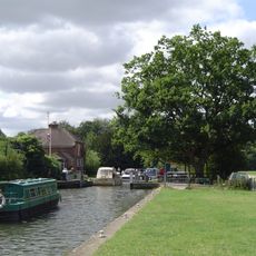
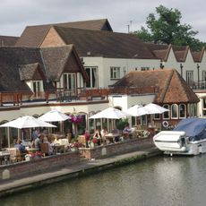
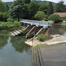
Goring Lock, River navigation lock in Goring-on-Thames, United Kingdom
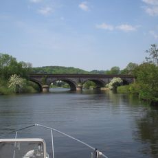
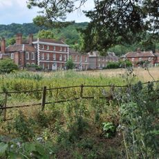
Goring Lock is a river lock on the Thames in Oxfordshire that allows boats to pass through the Goring Gap, where the river narrows as it flows between chalky hills on both banks. The structure sits at an important point for river traffic, and visitors can watch boats being raised or lowered as they move through the channel.
The lock was built in 1787 by the Thames Navigation Commissioners to replace an older weir connected to Goring Priory that stood at this site. This construction reflected growing efforts to improve navigation on the river during the late 18th century.
The lock represents a crucial element of Thames river management, enabling water level control and boat passage through the Goring Gap.
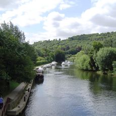
The best way to view the lock is from the towpath that runs along both banks of the river and offers open access throughout the day. A visit during dry conditions works well since the path can become slippery, and you will have better sightlines when the weather is clear.
A tragic incident from 1674 connects to this location, when a ferryman steered too close to the structure and approximately sixty people lost their lives. This disaster reveals how hazardous river travel through this narrow passage was in historical times.
The community of curious travelers
AroundUs brings together thousands of curated places, local tips, and hidden gems, enriched daily by 60,000 contributors worldwide.