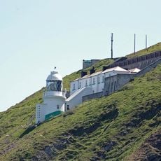
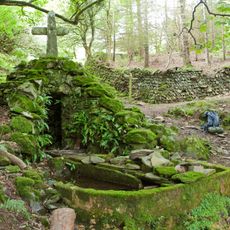
Glenthorne, Protected ecological site in Exmoor National Park, Great Britain.
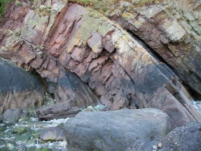
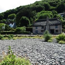
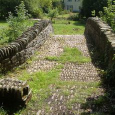
Glenthorne is a protected ecological site spanning across the border of Somerset and Devon within Exmoor National Park, showcasing distinctive sandstone layers and freshwater deposits from the Middle Devonian period. The landscape reveals rock formations that developed under very different environmental conditions than exist today.
The site received protected status in 1989 when Natural England designated it as a Site of Special Scientific Interest for its geological importance. This protection acknowledged the value of these rock formations for understanding Earth's prehistoric development.
Scientists and researchers regularly visit Glenthorne to study the Middle Devonian sequence and observe the Hangman Sandstone Group formations.
Access to this protected area requires advance permission from conservation authorities to safeguard the sensitive geological features on site. Visitors should check beforehand which areas are open to the public and what guidelines apply when visiting.
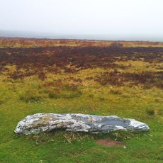
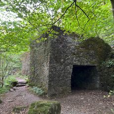
The site contains rare Hangman Grits, sandstone deposits that formed in desert-like conditions during the Middle Devonian period. These unusual sediments offer a window into a vanished landscape that once existed on Earth.
GPS coordinates: 51.23380,-3.72018
Latest update: December 14, 2025 11:40
Culbone Church
4.5 km
Porlock Stone Circle
6.7 km
Watersmeet House
5.6 km
Lynmouth Foreland Lighthouse
4.8 km
Robber's Bridge
3.8 km
Church of St Mary
2.4 km
Malmsmead Bridge
2.1 km
The Blue Ball Inn
5.3 km
Church of Saint John
5.3 km
Church of St John the Baptist
7.5 km
Church of St Brendan
5.4 km
Lyn Model Railway
7.6 km
Sisters Fountain And Adjoining Pool Approximately 700 Metres To South West Pf Glenthorne At Ss 7930 4917
899 m
Lynmouth Bridge Hotel
7.7 km
Orchard House And Attached Front Boundary Wall
7.5 km
Stone circle, Porlock Common
6.8 km
Beach Cottage
6.8 km
Hillside House And Front Terrace Wall And Railings
7.5 km
Pair Of Lime Kilns Approximately 200 Metres To East Of Watersmeet House
5.4 km
Terrace Balustrades And Steps To North And West Of The Manor House
7.5 km
Bonnicott
7.6 km
Summerhouse And Attached Retaining Wall And Terrace With Railings
7.5 km
Oare Bridge
2.3 km
The Manor House And Attached Wall And Stable Block
7.5 km
The Whit Stones: two standing stones 230m west of Whitstone Post
6.3 km
Lyn Long Stones
7.6 km
Packhorse Bridge Approximately 30 Metres To West Of Leeford Bridge (That Part In Brendon Cp)
3.4 km
K6 Telephone Kiosk
7.6 kmVisited this place? Tap the stars to rate it and share your experience / photos with the community! Try now! You can cancel it anytime.
Discover hidden gems everywhere you go!
From secret cafés to breathtaking viewpoints, skip the crowded tourist spots and find places that match your style. Our app makes it easy with voice search, smart filtering, route optimization, and insider tips from travelers worldwide. Download now for the complete mobile experience.
A unique approach to discovering new places❞
— Le Figaro
All the places worth exploring❞
— France Info
A tailor-made excursion in just a few clicks❞
— 20 Minutes